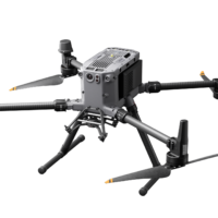
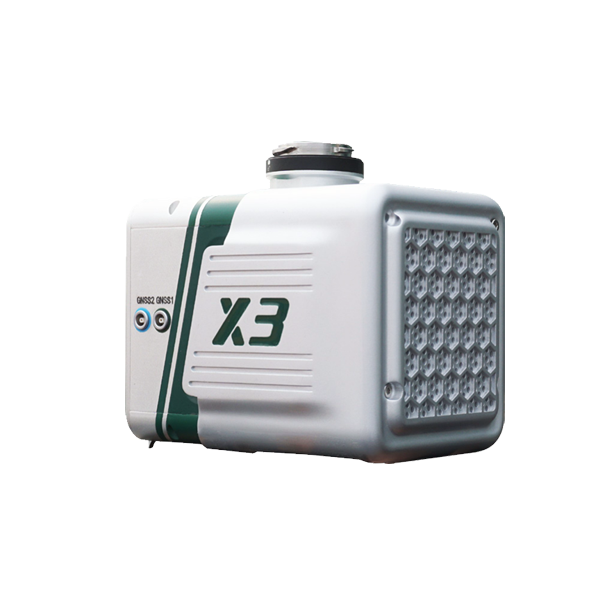
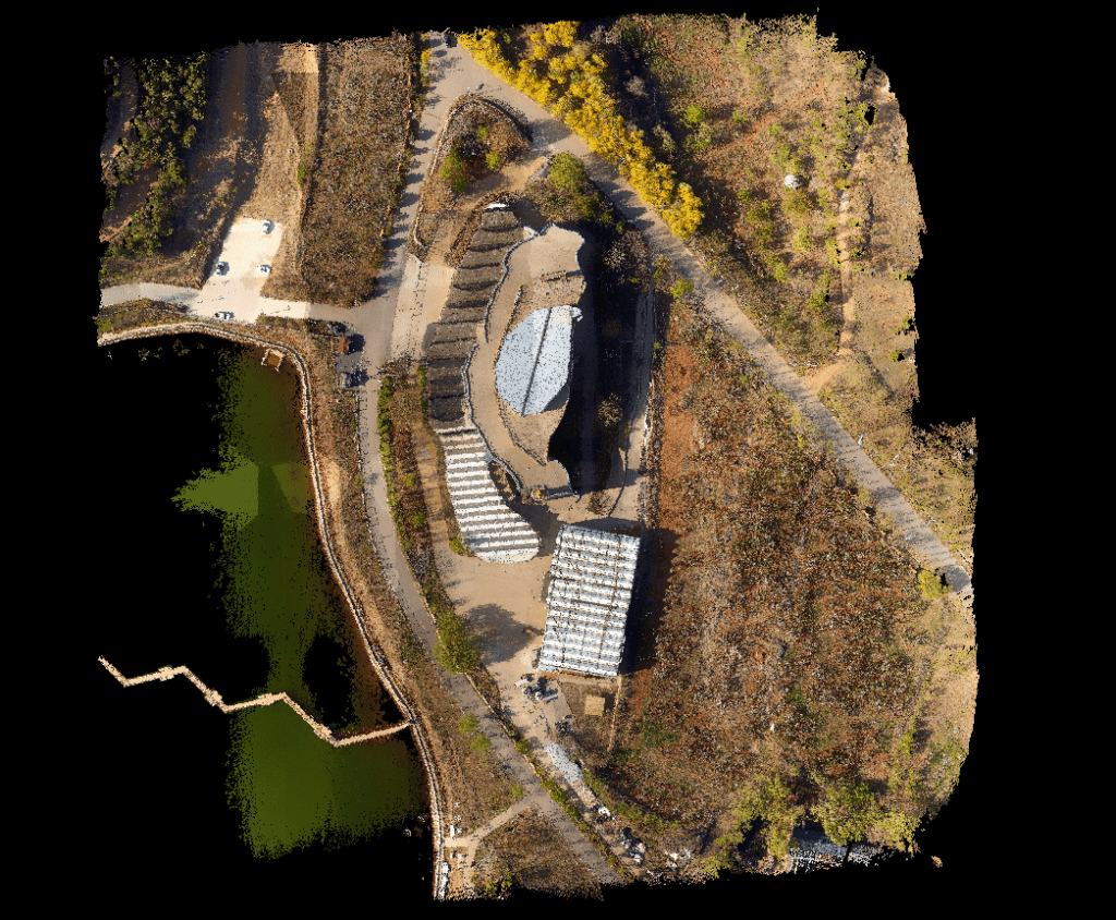
LiAir X3 is the newest compact, high-performance unit in the LiAir series by GreenValley International. It adopts a new integrated design style and integrates lightweight LiDAR, self-developed inertial navigation, a high-resolution mapping camera, and onboard computer systems providing new levels of efficiency.
Delivery Terms:
DAP, Global shipping
Parts included in the package:
LiAir X3 LiDAR Scanning System with Camera;
LiGeoReference Pre-processing Software (Permanent License);
Warranty:
OEM Warranty, 1 year;
Lead Time:
2 weeks plus transport.

 drone lidar with premium INS
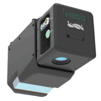 UAV LiDAR Payloads
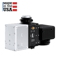 drone lidar with premium INS