When it comes to choosing a LiDAR system for your drone, accuracy and range are key factors to consider. Different sensors will have different ranges and accuracies, so it’s important to compare models before you buy. Also, consider how many channels the LiDAR has, as more channels equal higher accuracy and more detailed point clouds.
Multicopters are the most common type of UAS used for aerial LiDAR surveys. They are low-cost and low-maintenance and can fly very slowly. This makes them a popular choice for surveying areas where there are few or no obstacles. Several commercial multicopters are available that can carry a LidarPod. Many have flight endurances of 15 minutes to three hours.
One of the main challenges with LiDAR is interpreting the results. The results are difficult to understand for people who are not engineers. The most challenging challenge is to ensure that the data are used for the intended purpose. A typical drone LiDAR system will fly a minimum of 5 meters above ground level (Ground Level).
Multirotor drones can be used for a variety of applications, from environmental monitoring to real estate management. They are also suitable for use in emergency response situations. Some of these uses include monitoring of pipelines, power lines, and utility lines. As the technology evolves, drones will continue to be used for a wide variety of applications.
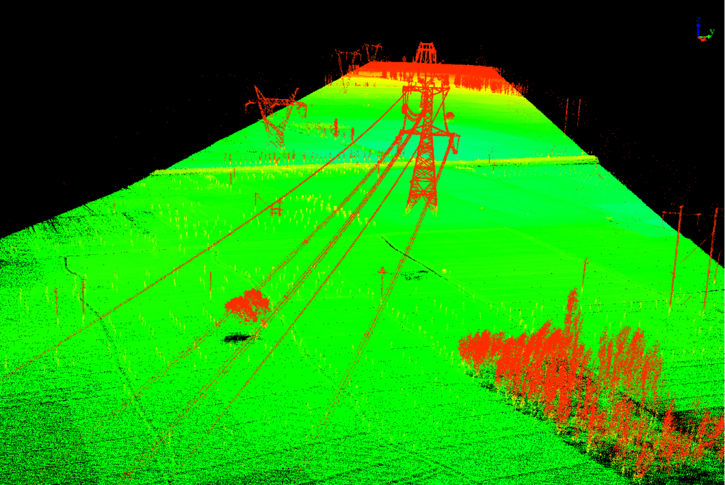
A LiDAR sensor can be expensive, so you’ll need to compare multiple models before buying one. Then, you can select one that fits your budget and your needs. In the end, LiDAR sensors will produce high-resolution maps and 3D models of both natural and manmade objects.
The resolution of the LiDAR sensor is another important factor to consider. Long-range and tactical-range sensors offer different point cloud densities, and you’ll need to choose the right sensor for your project. The resolution of a sensor also depends on the altitude of the aerial vehicle. If you’re flying at an altitude of 60m or lower, a tactical-range sensor should be fine for your requirements. If you’re flying at a higher altitude, you’ll need a long-range or mid-range sensor.
A lightweight LIDAR system will provide 10 cm horizontal accuracy and five cm vertical accuracy. These systems are great for low-cost applications, as they can offer flexibility and high accuracy. However, make sure you choose a class-one solution if safety is a priority. You can also compare multiple systems to choose the best one for your drone needs.
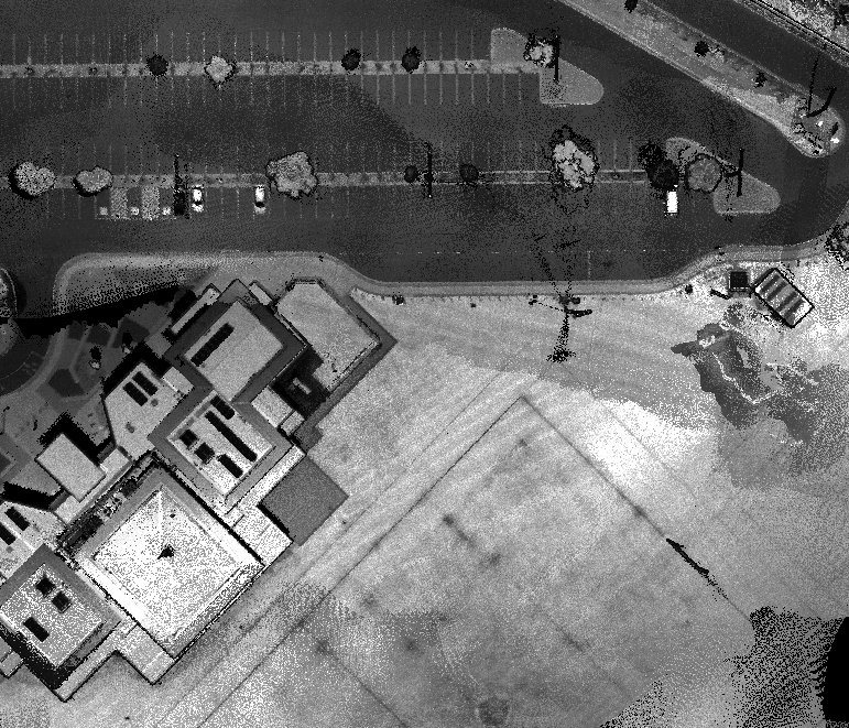
A high-resolution sensor will allow you to obtain survey data with 0.1-foot accuracy. However, it also requires more calibration and maintenance. The shutter-trigger mechanism can be tricky, resulting in unpredictable data collection. In addition, a camera without gimbal can lead to additional data quality problems. Because of this, cameras on drones will blur images when the drone banks and vibrates during flight.

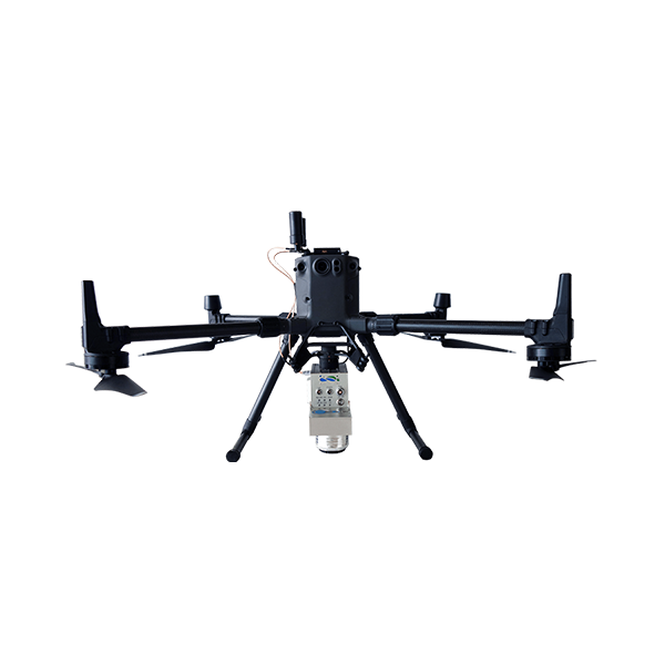
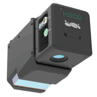
 drone lidar with premium INS
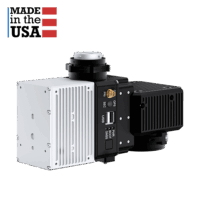
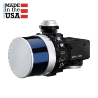 drone lidar with premium INS
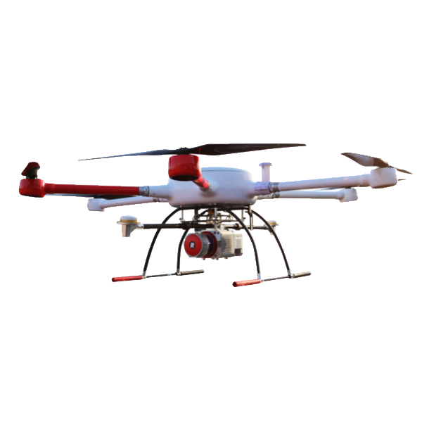
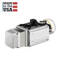
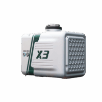 Entry Level drone LiDAR
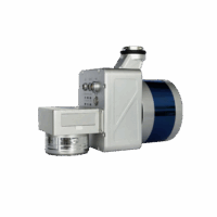 Entry Level drone LiDAR