-
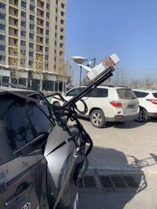
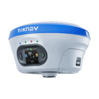
 GNSS Receiver
TokNAV – T30 Intelligent GNSS Receiver – Global Shipping
Price range: AU$4,310.00 through AU$5,530.00 Excl. GST/VAT View products
-
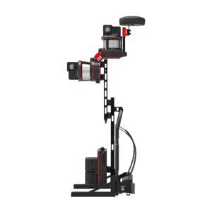
 GNSS Receiver
TokNAV – T40 GNSS Receiver – With Detachable Battery – Global Shipping
Price range: AU$5,090.00 through AU$5,990.00 Excl. GST/VAT View products
-
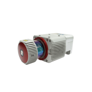
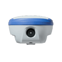 GNSS Receiver
TokNAV – TO68 Portable & Intelligent GNSS Receiver – Global Shipping
Price range: AU$2,880.00 through AU$4,550.00 Excl. GST/VAT View products
-
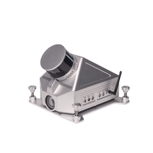
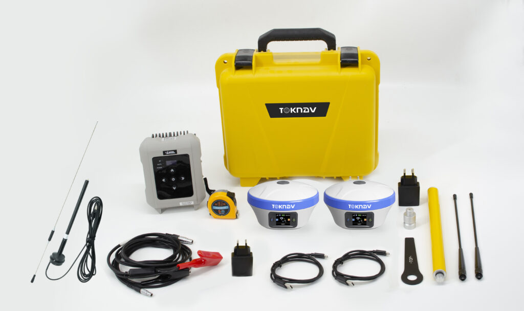
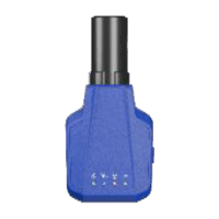
 GNSS Receiver
TokNAV – Tbase Base Station Specific GNSS Receiver – Global Shipping
AU$3,320.00 Excl. GST/VAT Add to cart
-
 GNSS Receiver
TokNAV – Economical GNSS Rovers – T5 Series- Global Shipping
Price range: AU$2,650.00 through AU$2,870.00 Excl. GST/VAT View products
-
 GNSS Receiver
TokNAV – T10 Entry Level GNSS Rover/Base – Global Shipping
AU$3,100.00 Excl. GST/VAT View products
-
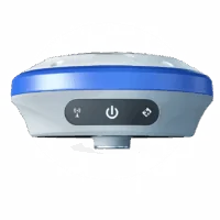
 GNSS Receiver
TokNAV – Engineering Level T20 Pro GNSS Rover/Base – Global Shipping
AU$4,090.00 Excl. GST/VAT View products
-
 GNSS Receiver
TokNAV – Miniature GNSS Receiver – P8 Series – Global Shipping
Price range: AU$1,770.00 through AU$2,100.00 Excl. GST/VAT View products
TokNAV GNSS Receiver Harsh Conditions Test Videos
5 Videos

2:04
2:04
2:04

TokNAV GNSS Receiver Harsh Conditions Test Videos
4 Videos
2:04
2:04
2:04
2:04
TokNAV GNSS Receiver Harsh Conditions Test Videos
6 Videos
2:04
2:04
2:04
2:04
2:04