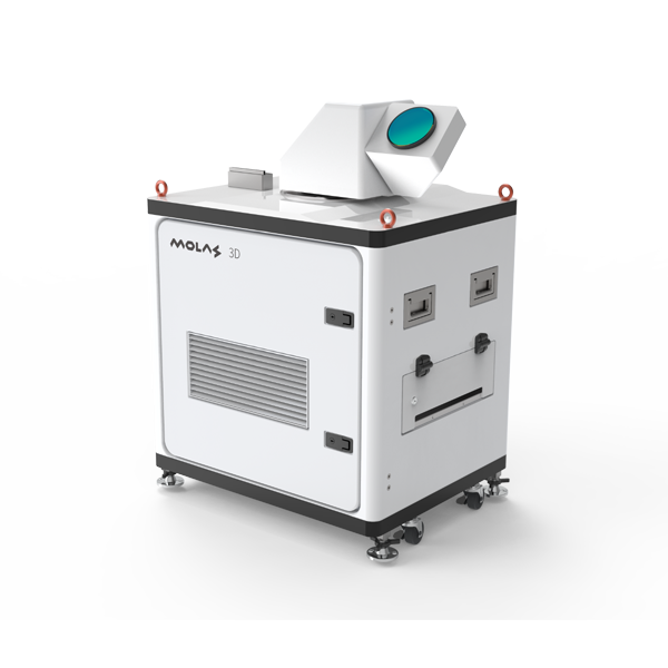
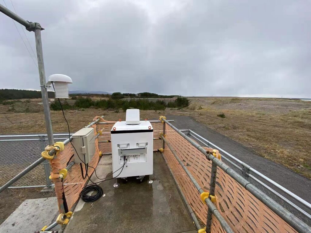
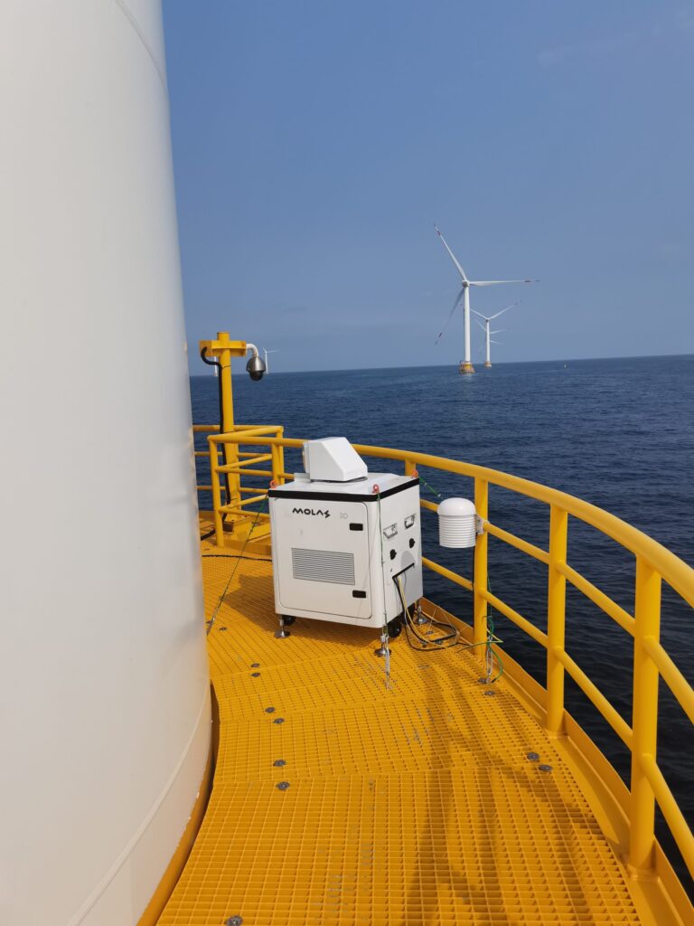
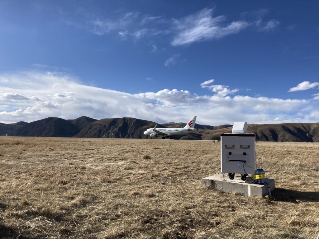
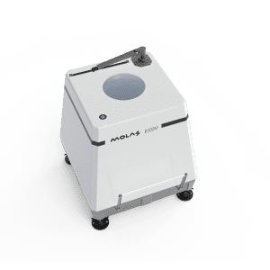
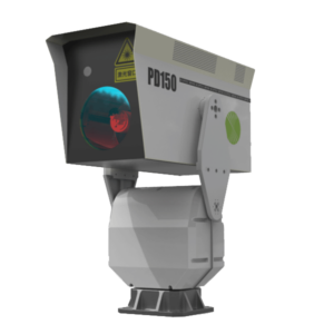
Wind lidar with 3D scanning is a strong tool for measuring wind patterns, and its accuracy and dependability make it a crucial component of many industries, including aviation. Wind shear and aircraft vortex identification are vital for guaranteeing safe takeoff and landing operations at airports, and 3D scanning wind lidar can help with this.
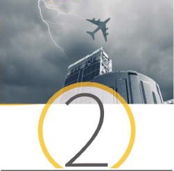
Wind shear is a short-distance change in wind speed and/or direction that can have major repercussions for aircraft during takeoff and landing. Wind shear may be detected in real-time using 3D scanning wind lidar, providing pilots with critical information that can help them make informed decisions regarding their flight operations.
Another critical factor in aviation safety is the aircraft vortex. When an aircraft generates lift, it also generates air vortices behind it, which can impact other aircraft flying nearby. These vortices may be detected and tracked using 3D scanning wind lidar, allowing air traffic controllers to modify flight routes and ensure safe separation distances between aircraft.
Remote sensing lidar is very effective for detecting wind shear and aircraft vortices because it can provide detailed data on wind patterns across broad areas. Remote sensing lidar can offer real-time data on wind shear and vortexes by monitoring wind patterns from an aeroplane or satellite, allowing pilots and air traffic controllers to make informed decisions about flight operations.
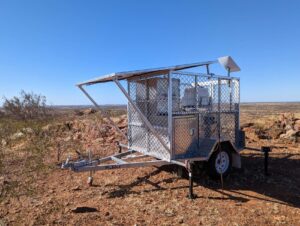
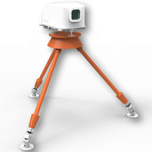
Airborne lidar systems are another critical component of airport wind shear and aircraft vortex detection. Airborne lidar systems can develop precise maps of wind patterns and other atmospheric characteristics by scanning the surroundings using laser beams. These maps may then be used to optimise flight trajectories and ensure safe takeoff and landing procedures.
Finally, 3D scanning wind lidar is crucial for airport wind shear and aircraft vortex identification. Its accuracy and dependability make it an indispensable instrument for maintaining safe flight operations, and it is increasingly being utilised in tandem with other technologies such as remote sensing lidar and airborne lidar systems. As technology advances, we may anticipate increasingly more advanced and inventive solutions for aviation safety.
3D scanning wind lidar is also a remote sensing system that measures wind speed and direction using laser-based wind detection. This technology is especially valuable in atmospheric monitoring, where accurate and dependable wind measurement is critical for understanding weather patterns and forecasting wind energy potential. To offer a thorough picture of the atmosphere, atmospheric lidar devices are frequently employed in conjunction with wind measuring equipment. Atmospheric lidar can give significant data on atmospheric conditions and the movement of air masses by measuring a variety of factors such as temperature, humidity, and pressure.