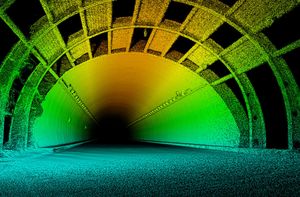
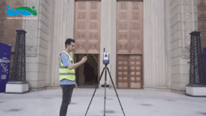
SLAM (Simultaneous Localisation and Mapping) is a technology that allows a LiDAR handheld 3D scanner to create a map of the environment and simultaneously determine its own location within the map. This is achieved using a combination of laser range finding, inertial measurement and other sensor data.
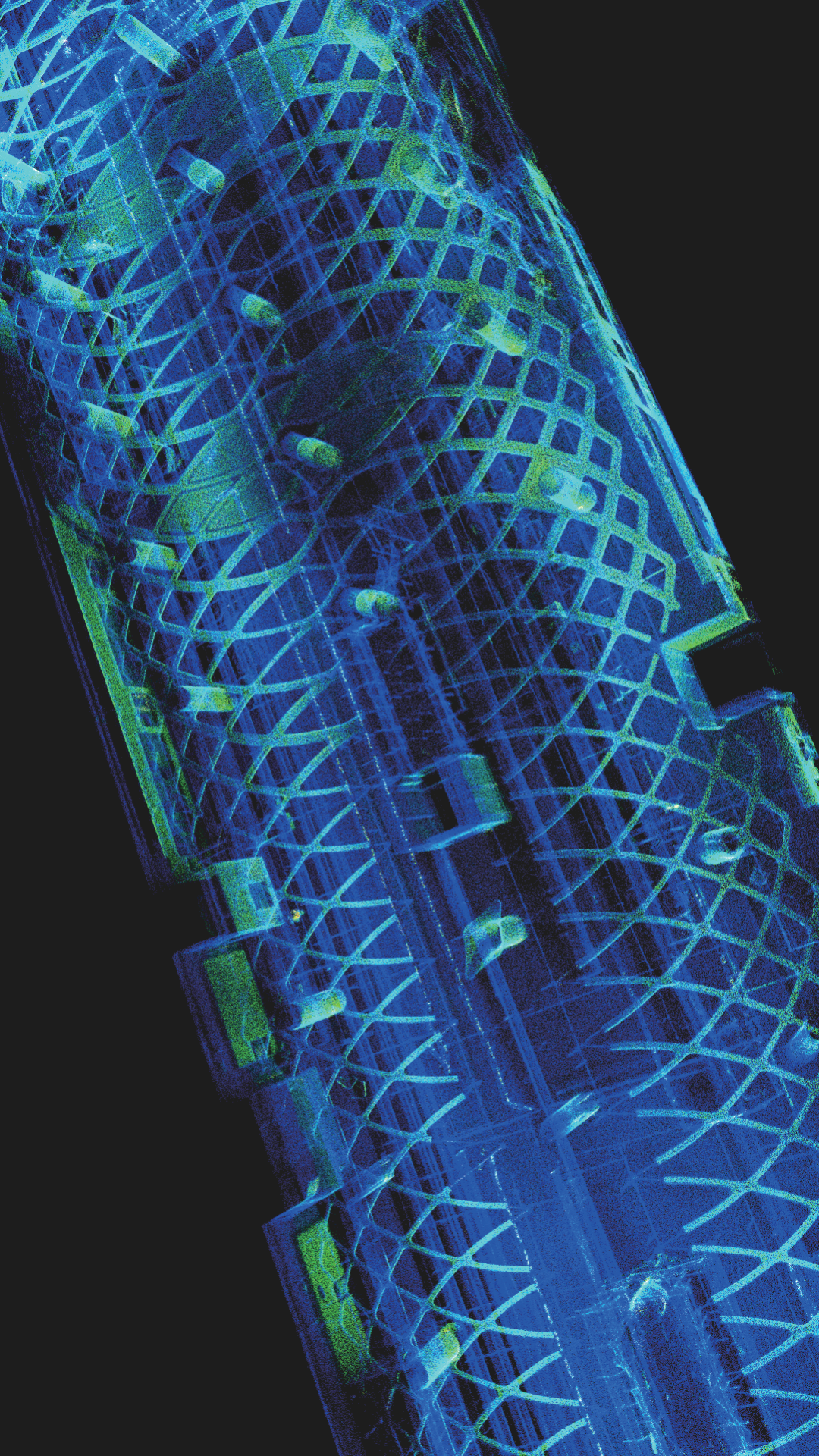
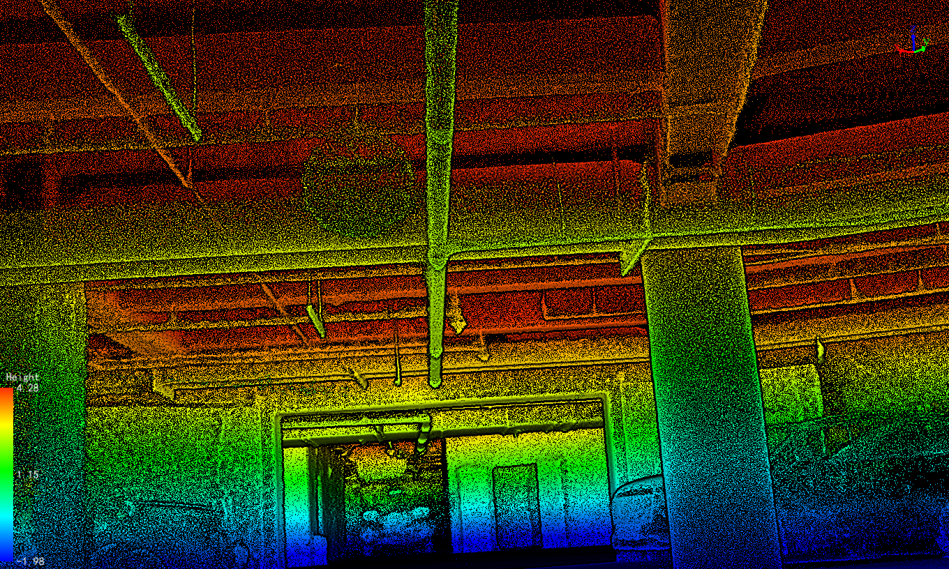
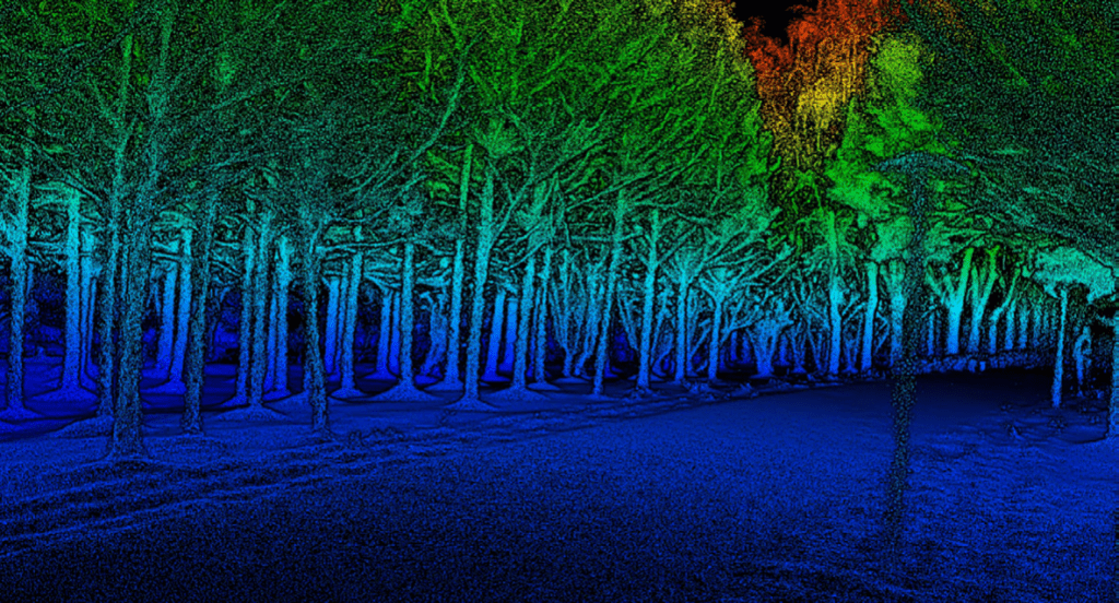
The LiDAR hand held scanner sends out laser pulses and measures the time it takes for the pulses to bounce back after hitting an obstacle. By combining this time-of-flight information with the known speed of light, the LiDAR scanner can calculate the distance to the obstacle. By continuously scanning the environment and collecting this range data, the LiDAR scanner can build up a 3D map of the environment.
The portable LiDAR handheld 3D scanner also contains an inertial measurement unit (IMU) that measures its own movement and orientation. By combining this information with the range data, the LiDAR scanner can determine its own location within the map in real-time. This allows the LiDAR scanner to accurately track its own movement and build up a detailed, accurate map of the environment as it moves.
SLAM technology is used in a variety of applications, including autonomous vehicles, robot navigation, and virtual and augmented reality. It is a key enabling technology for self-driving cars, as it allows the car to “see” its environment and understand where it is in relation to the world around it.
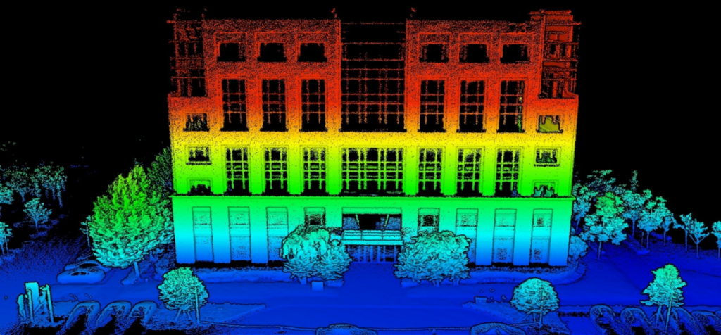
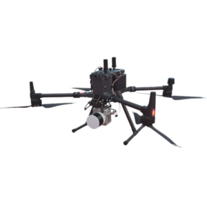
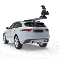
Another useful tool in the portable laser scanning arsenal is mobile LiDAR camera devices. These instruments, which are mounted on trucks, can capture highly detailed 3D maps of enormous areas rapidly and effectively. Environmental monitoring, urban planning and infrastructure management can all benefit from mobile LiDAR camera technology.
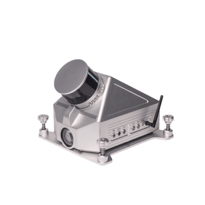
Compact laser mapping instruments are also extremely portable and can be employed in a variety of environments. These devices are intended for quick and precise data collection, and their small size and lightweight design make them suitable for usage in hard-to-reach regions.
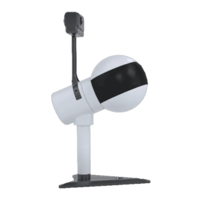
Wireless LiDAR scanners are another revolutionary portable laser scanning option. These gadgets communicate data to a computer or mobile device via wireless technology, giving real-time feedback and analysis. This technology is very beneficial for industrial applications like production and quality control.
Finally, portable laser scanners have transformed the area of 3D mapping by delivering very accurate and detailed data in a range of circumstances. Handheld 3D scanners, mobile LiDAR camera devices, tiny laser mapping tools and wireless LiDAR scanners already outperform standard mapping equipment. As technology advances, we can anticipate even more advanced and novel portable laser scanning systems in the future.

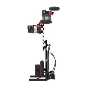
 Backpack LiDAR Scanner
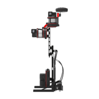
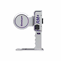
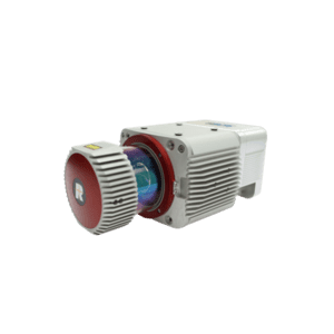
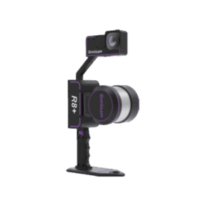
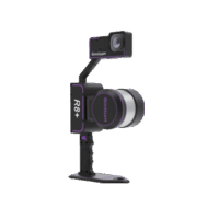
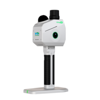 Handheld LiDAR Scanner
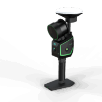 Handheld LiDAR Scanner
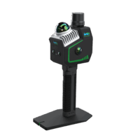 Handheld LiDAR Scanner
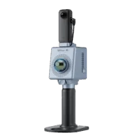 Handheld LiDAR Scanner
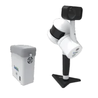 Handheld LiDAR Scanner