


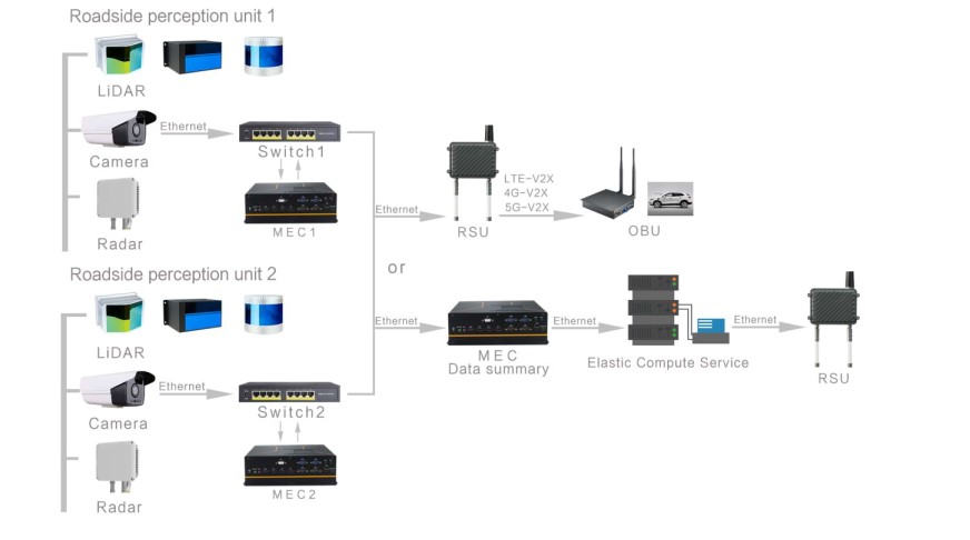
-
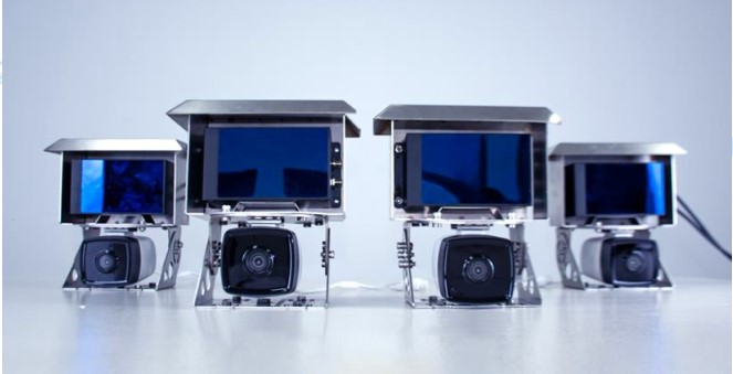
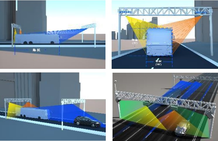
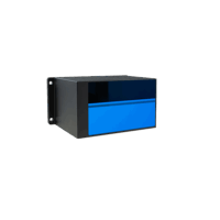 3D Hybrid Solid State LiDAR
Automotive Grade LiDAR Scanner – CH32 – Global DHL Shipping
AU$3,540.00 Excl. GST/VAT Select options This product has multiple variants. The options may be chosen on the product page -
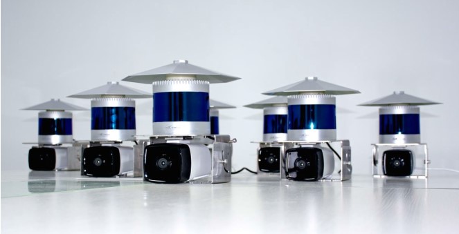
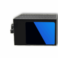 3D Hybrid Solid State LiDAR
Automotive LiDAR Scanner – CH128X1 – Global Shipping
AU$6,367.00 Excl. GST/VAT Add to cart -
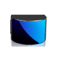 3D Hybrid Solid State LiDAR
Wide FoV LiDAR Scanner – CH64W – Global Shipping
AU$6,830.00 Excl. GST/VAT Add to cart
-
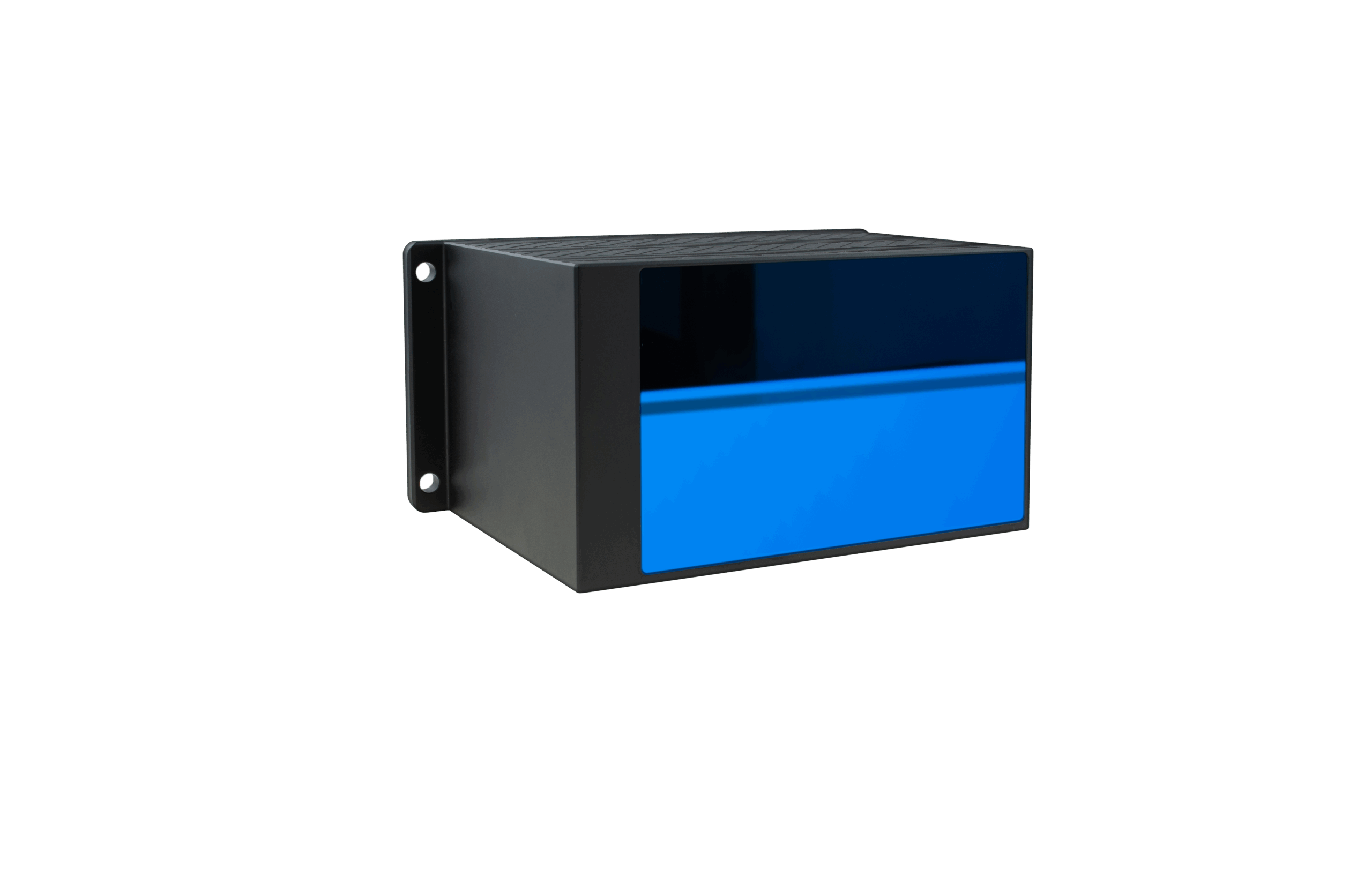
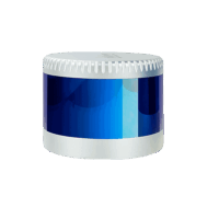 3D LiDAR Sensors
CX16 3D LiDAR Scanner – 150m – Global Shipping
AU$3,390.00 Excl. GST/VAT Add to cart -
3D LiDAR Sensors
CX32 3D LiDAR Sensor – 150m – DHL Global Shipping
AU$5,456.00 Excl. GST/VAT Add to cart -
 3D LiDAR Sensors
C32W LiDAR Scanner – Wide FoV – Global DHL Shipping
AU$10,323.00 Excl. GST/VAT Add to cart

")
