
GPS RTK Receiver for Construction Applications

If you are considering using a GPS RTK Receiver in your construction project, there are several benefits to consider. First of all, GPS technology offers centimetre-level precision. This is a vastly improved accuracy over human operator skill alone. This allows trenches to be dug to the exact depth, tractors to be steered in perfect rows, and piling rigs to know exactly where to place planting piles. It also enables surfaces to be fine graded on the first attempt. This makes the work faster and cheaper.
How does GPS RTK Receiver work
When it comes to construction applications, the GPS RTK Receiver is a great tool for surveying and estimating. A standard approach for surveying uses a rover data rate of up to 5 Hz, with a base data rate of 1 Hz. Running the receiver at such a high rate has benefits, but it also has disadvantages. The high rate can lead to increased processing load and battery drain, and can create temporal correlations.
The RTK receiver is more useful as a reference system for other studies, as it can provide position and trajectory data. A major challenge, however, is ensuring the accuracy of the reference system. In order to achieve this, a more precise method must be used to provide ground truth. This ground truth can be very reliable if it is anchored to a static measurement.
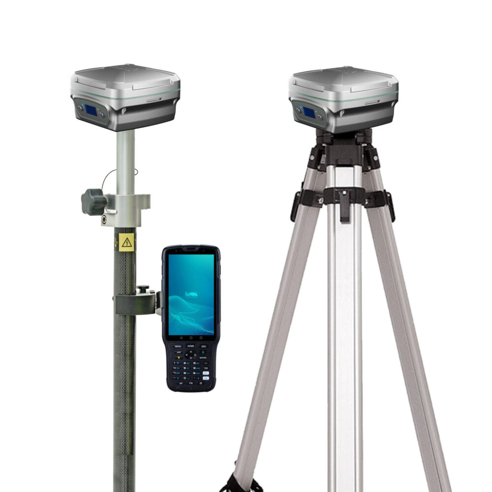
The basic components of a GPS RTK receiver are a base station at a known point and a mobile receiver within a 10 km radius of the base station. The two units communicate by radio or 3G/4G. Typically, the radio link is in the VHF or UHF band, but can also use spread spectrum frequencies.
What are the impacts to the accuracy of receiver?
GPS is a highly valuable tool in construction applications. The precision of its positioning is centimetre-level and makes construction work more accurate and productive. This technology can help contractors cut time, energy and costs while completing projects on schedule. It is also used for utility and cadastral surveys, civil engineering, land-deformation monitoring, and open-pit mining.
Poor positioning accuracy can lead to dangerous situations when operators make erroneous decisions. GPS accuracy is essential in the formulation of transport policy. Without reliable location data, it can be impossible to plan and execute work efficiently. Using GPS data to make decisions is a valuable tool for building safer and more efficient transportation systems.
In the study, the accuracy of GPS RKT measurements varied significantly across NRTK and LBRTK systems. In one study, the differences between the two systems were around 2 cm horizontally and 3.5 cm vertically.
GNSS receiver for construction
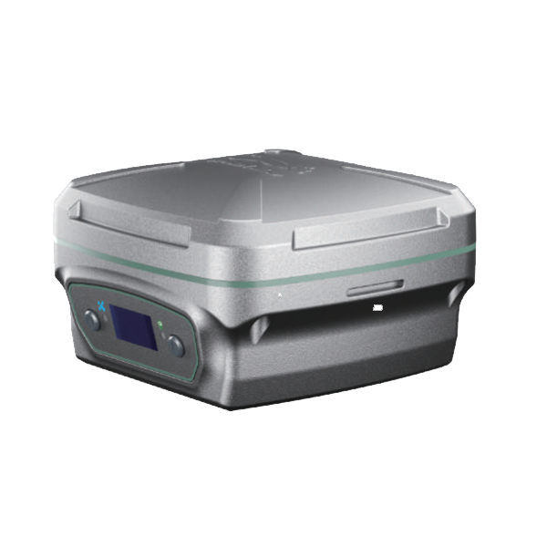
If you’re planning to purchase a GNSS receiver for construction applications, you may want to consider the new GreenValley LiBase. The LiBase can be used as base station or rover receiver, which is designed for construction, mining and surveying applications. It is easy to install and integrate into any control system, making it a cost-effective and versatile solution for your needs.
Key Features of LiBase
- Versatile – can be used for both base station and rover;
- Intelligent: automatic levelling within 60 degrees;
- Multi-communication media: radio and 3G/4G for RTK;
- Intelligent: equipment with Android system with multi-funciton integrated.