
-
 Backpack LiDAR Scanner
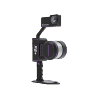
OmniSLAM Handheld & Backpack LiDAR Scanner R8+ – Millimeter Accuracy
Read More
-
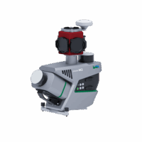
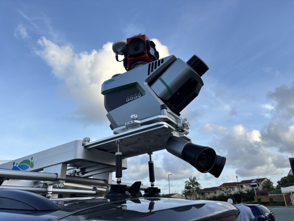
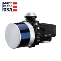 drone lidar with premium INS
RESEPI-HESAI XT32M2X – From Inertial Labs, Manufactured In USA
Read More
-
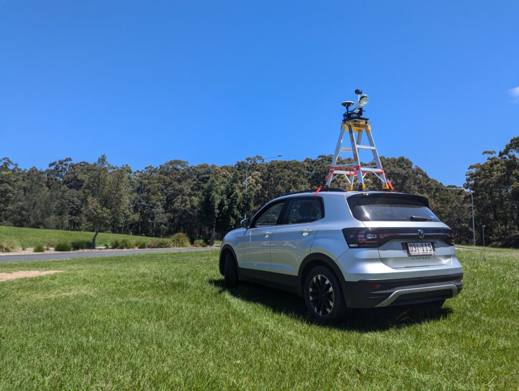
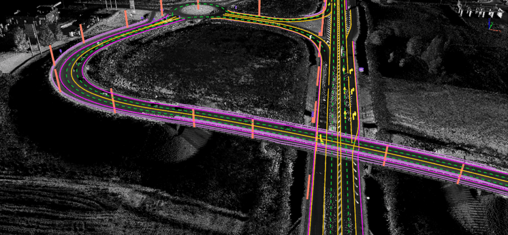
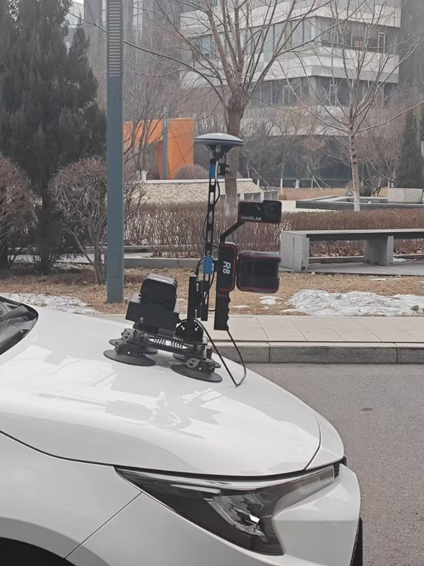
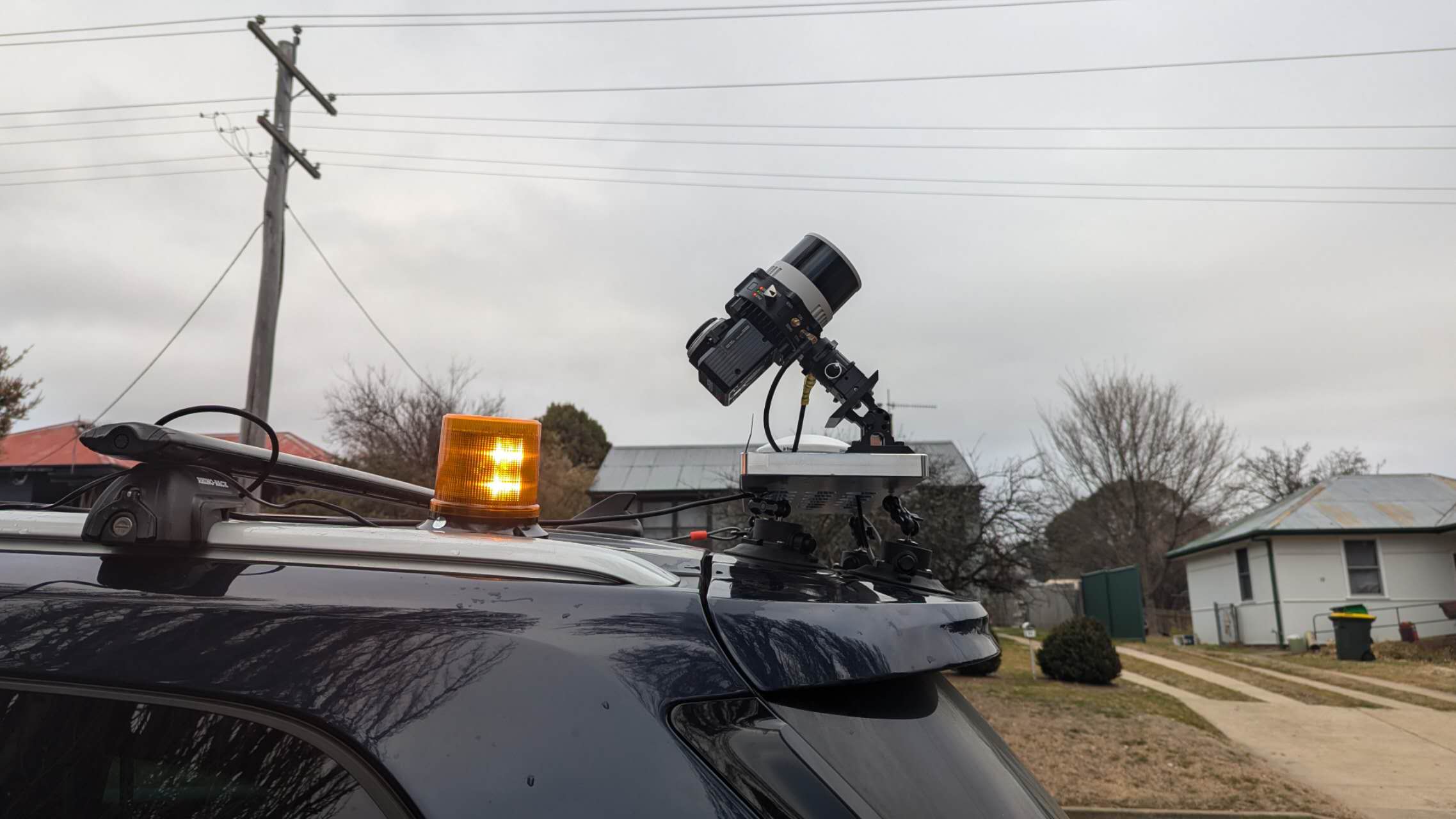
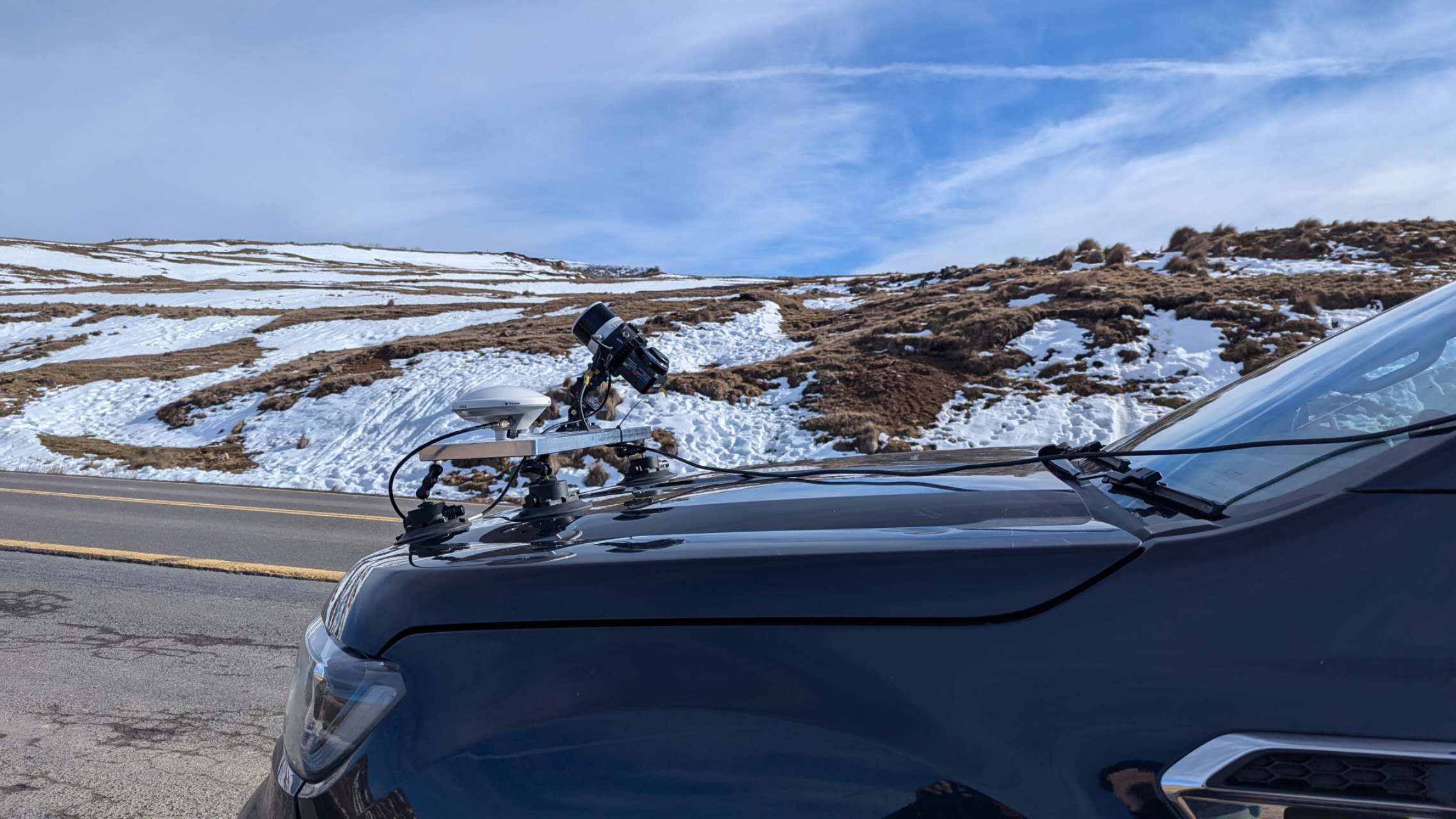
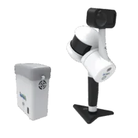 Handheld LiDAR Scanner
LiGrip H300/H120 Handheld LiDAR Scanner – Backpack, Vehicle-mounted Platform Supported
Read More