
Introduction
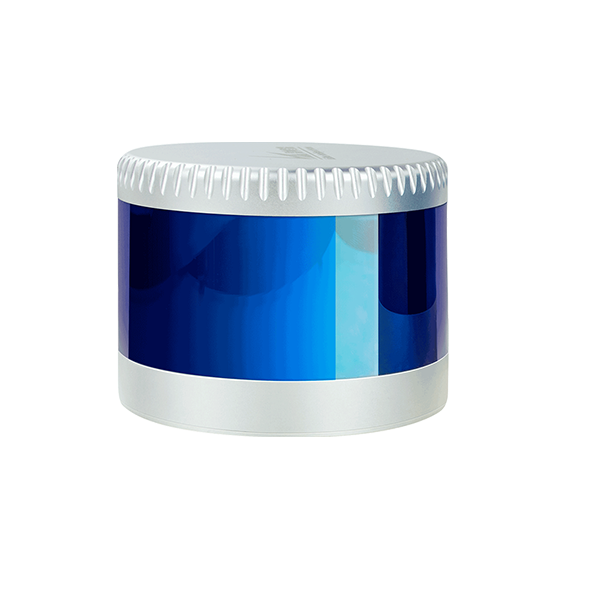
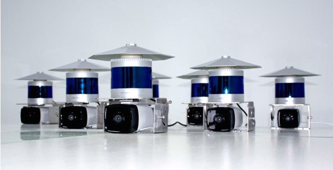
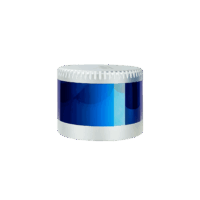
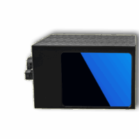
CX32 3D LiDAR sensor achieves 360° high-speed scanning with 32 beam laser, measurement range up to 150 m, ±3cm accuracy, minimum vertical angle resolution up to 1°(C32) , C32 widely used in autonomous vehicle, ADAS, smart transportation, service robots, logistics, surveying and mapping, security and so on.
Inside the CX32 enclosure are 32 pairs of laser-emitting and receiving devices mounted on the bearings. A 360° panoramic scanning is done by rotating the internal motor at 5Hz (or 10Hz, 20Hz).
Features
- High point density, capability of generating approximately 640,000 point per second(C32)
- Wide field of view, with 360° horizontal FOV and 32°vertical FOV.
- The C32 Vertical angular resolution up to 1°, focused on front area data acquisition.
Specifications of CX32-150m 3D Lidar Sensor:
- High point density, the capability of generating approximately 640,000 points per second
- Wide field of view, with 360° horizontal FOV and 32°vertical FOV.
- The C32 Vertical angular resolution up to 1°, focused on front area data acquisition.
- Channels: 32
- Measurement Technique: TOF
- Wave Length: 905nm
- Laser Classification: Class 1 Eye-safe/ IEC 60825-1:2007 & 2014
- Measurement Range: 150m
- Ranging Accuracy: ±3cm
- Angle resolution:
- Horizontal: 5Hz: 0.09º / 10Hz: 0.18º / 20Hz: 0.36º
- Vertical: 1°
- Data Points Generated: Max 640,000 points per second
- Rotation Speed: 5~20 Hz
- FOV – Horizontal: 360°
- FOV – Vertical: -16°~15°
- IP: IP67
- Weight: 1600g
- Dimensions (D*H): 120*110mm
- Communication Interface: 1000M Ethernet、PPS
- Operation Voltage: 10V~36VDC
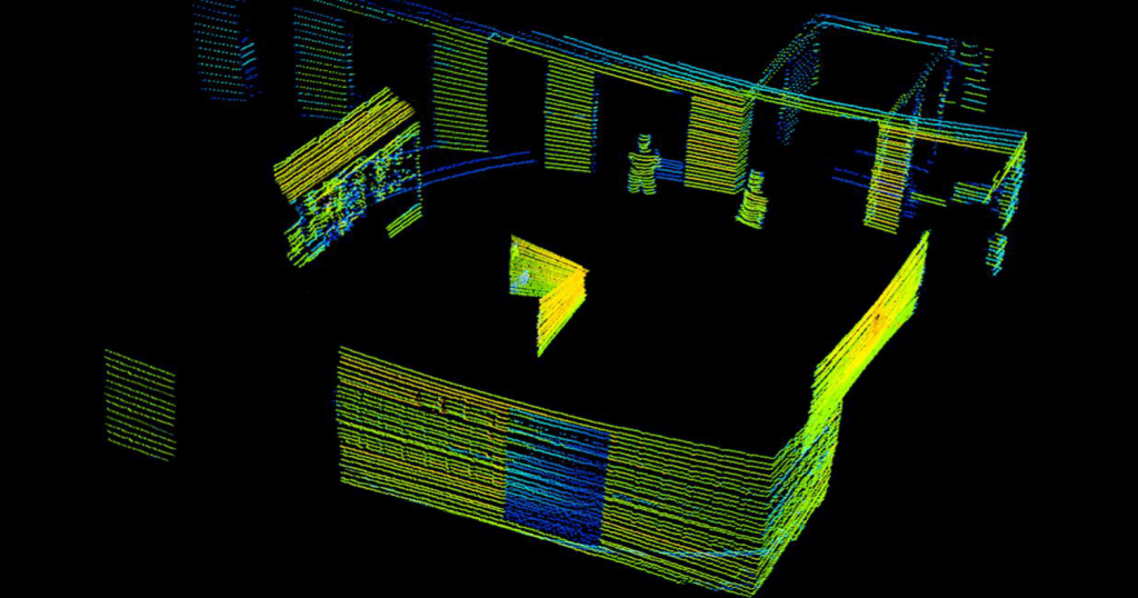
Point Cloud DEMO of CX32
Applications
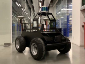
Autonomous Robots:

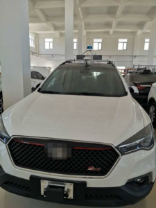
Autonomous Driving

V2x:
Support Documents Of CX32 3D LiDAR Sensor:
- CX32 Service Pack, including ROS Drivers, User manual, and Windows monitor client
- CX 32 specification
- CX32 data sample
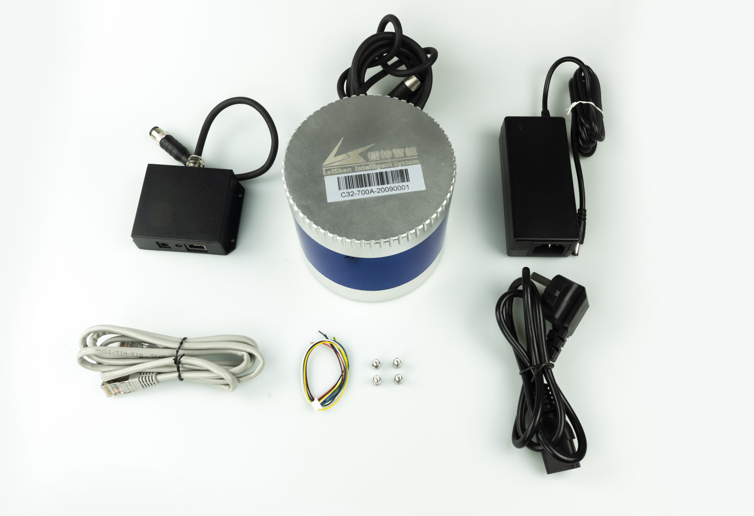
Parts included in the package:
- 1 unit of CX32 LiDAR Scanner
- 1 unit of power and communication adapter
- 1 unit of Ethernet cable
- Screws for installation
Related products
-
 3D LiDAR Sensors
C32W LiDAR Scanner – Wide FoV – Global DHL Shipping
AU$10,323.00 Excl. GST/VAT Add to cart -
 3D Hybrid Solid State LiDAR
Wide FoV LiDAR Scanner – CH64W – Global Shipping
AU$6,830.00 Excl. GST/VAT Add to cart -
 3D Hybrid Solid State LiDAR
Automotive LiDAR Scanner – CH128X1 – Global Shipping
AU$6,367.00 Excl. GST/VAT Add to cart -
 3D LiDAR Sensors
CX16 3D LiDAR Scanner – 150m – Global Shipping
AU$3,390.00 Excl. GST/VAT Add to cart