

Property Management and Assessment
Assess structural integrity, plan spaces, and identify areas in need of repair or renovation. Reduce uncertainty in investment decisions with insights from a rich spatial dataset.

LiDAR for Architecture, Engineering and Construction
Make more informed decisions on your projects from blueprint to QA/QC with building surveys, scan to CAD&BIM, as-built documentation, floor plans, and stockpile volumes.

Media and Entertainment
Craft new realities based on real-world inspirations. Whether you're creating video games, virtual tours, or cinematic environments, capture the essence of both indoor and outdoor settings.

Forestry and Vegetation Analysis
Manage and monitor tree inventory with a quick walk in the forest. Measure crowns, analyze breast diameter and tree height using precise point cloud data.

Public Safety
Leverage point cloud data to enhance disaster preparedness and recovery plans. Quickly record evidence and crime or accident scenes for immediate and accurate forensic documentation.
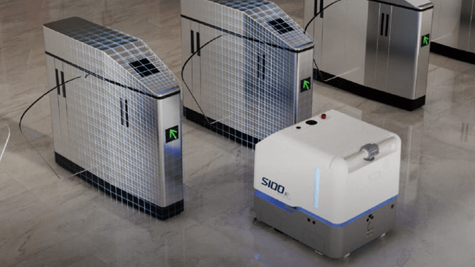
Robotics
Facilitate communications between teams before and during robotics deployment. Plan routes and enhance robot obstacle avoidance with 2D maps and 3D models of the environment.
-
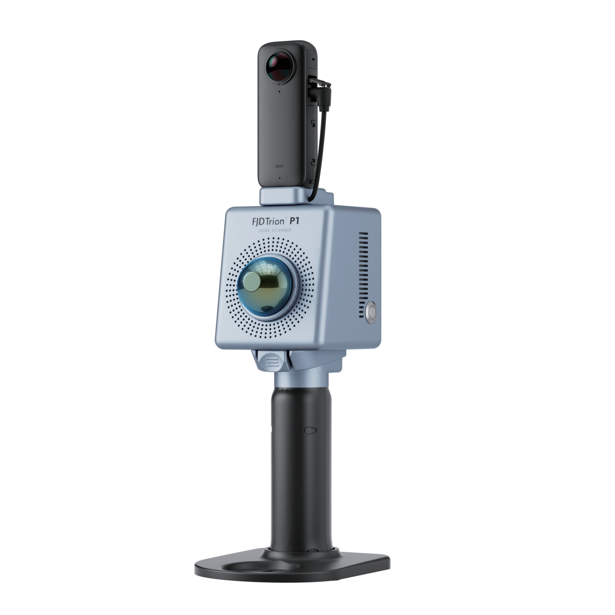
 LiDAR Point Cloud Processing Software
Trion Model Software – Pre-processing Software For Trion P1/S1/S2 LiDAR
Price range: AU$1,264.00 through AU$1,970.00 Excl. GST/VAT View products
-
LiDAR Point Cloud Processing Software
Trion Model Software – Pre-processing Software For Trion P1/S1/S2 LiDAR
Price range: AU$1,264.00 through AU$1,970.00 Excl. GST/VAT View products -
 LiDAR Point Cloud Processing Software
LiDAR360 MLS Mobile/Handheld LiDAR Point Cloud Processing Software – 1 Year Subscription
AU$7,580.00 Excl. GST/VAT Add to cart -
 LiDAR Point Cloud Processing Software
LiDAR360 Aerial LiDAR Point Cloud Processing & Analyzing Software – 1 Year Subscription
AU$6,665.00 Excl. GST/VAT Add to cart
Related products
-
 Handheld LiDAR Scanner
LiGrip O2 Lite Handheld LiDAR Scanner – 3D Gaussian Splatting and RTK, PPK Supported
REQUEST FOR QUOTE Read More -
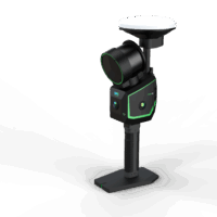 Handheld LiDAR Scanner
LiGrip O2 Handheld LiDAR Scanner – Backpack, Vehicle-mounted Platform Supported
Request for Quote Read More -
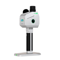 Handheld LiDAR Scanner
LiGrip SE Handheld LiDAR Scanner – Backpack, Frontpack and Pole-mount Supported
Request for Quote Read More -
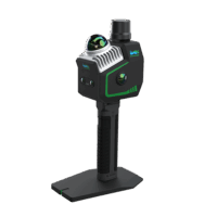
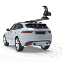 Backpack LiDAR Scanner
OmniSLAM Vehicle Mounted LiDAR Scanner T8 – Millimeter Accuracy
Request for Quote Read More