LiDAR Scanning for BIM & Revit Models
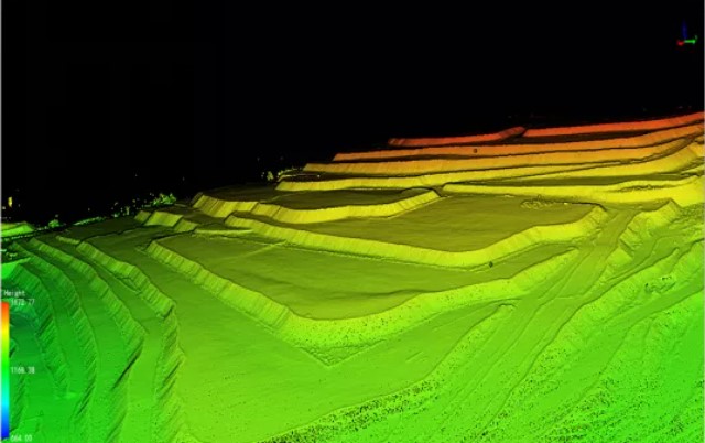
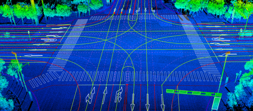
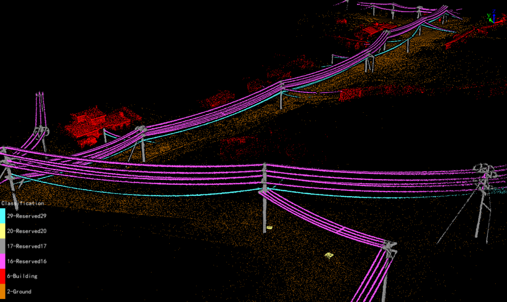
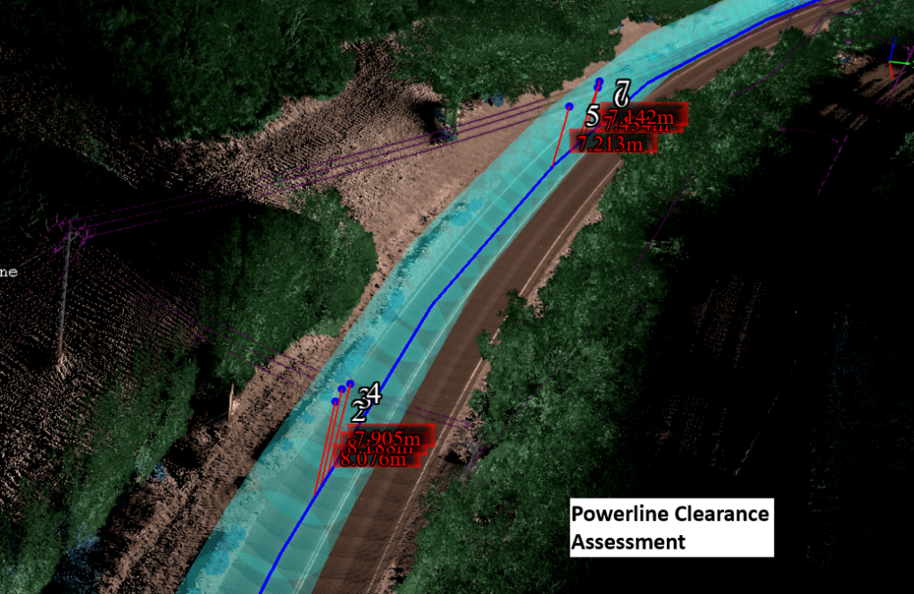
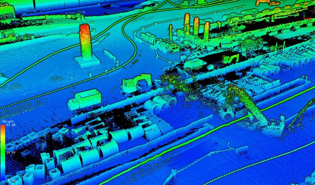
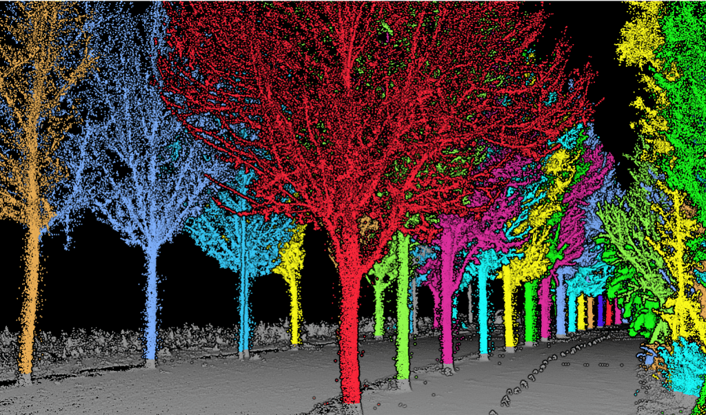
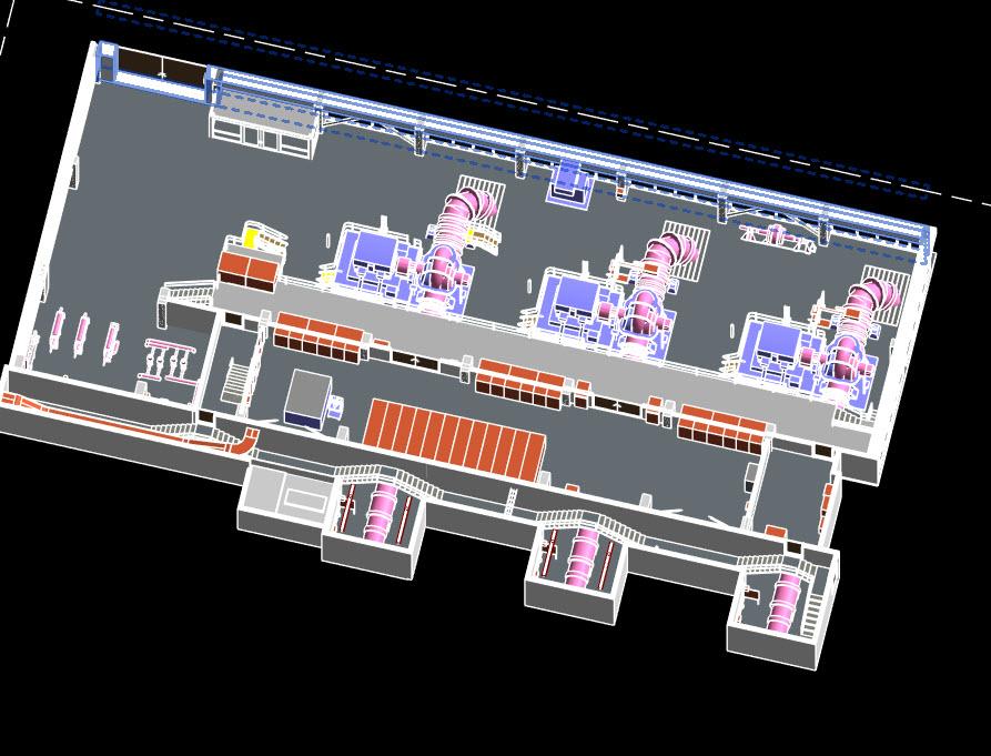
LiDAR Scanning For Building Information Modelling (BIM) Services | As-built Documentation | 3D Feature Vectorization BIM has the characteristics of visualization, coordination, simulation, optimization and
LiDAR Scanning for BIM & Revit Models Read More »