Advanced Met-Masts for Australian Wind Farms | Cost-Effective Wind Measurement Solutions
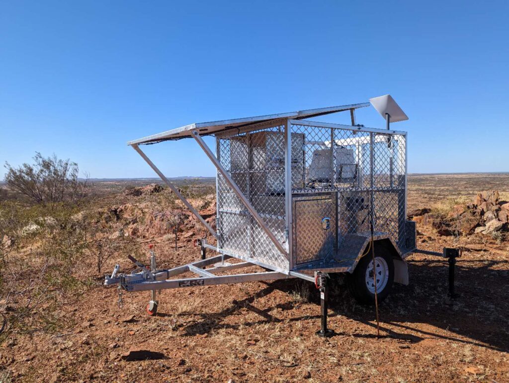
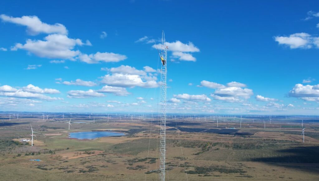
Advanced Met-Masts for Australian Wind Farms | Cost-Effective Wind Measurement Solutions At LiDAR Solutions, we provide state-of-the-art imported met-mast solutions specifically engineered for the demanding
Advanced Met-Masts for Australian Wind Farms | Cost-Effective Wind Measurement Solutions Read More »