
LiDAR for AGV And Robotic Navigation
From magnetic stripe navigation, two-dimensional code navigation to laser navigation to visual navigation, every leap is based on the continuous improvement of core technologies. For laser navigation, the key sensor realized by its technology – lidar has been placed in a more important position and has become one of the core components of the AGV and robot navigation and collision avoidance.
Lidar is a radar system that emits laser beams to detect the position, velocity and other characteristic quantities of targets. Its working principle is to transmit a detection signal (laser beam) to the target, and then compare the received signal (target echo) reflected from the target with the transmitted signal, and after proper processing, the relevant information of the target can be obtained, such as target distance, bearing, altitude, speed, attitude, and even shape.
2D LiDAR for AGV And Robotics Navigation
2D navigation lidar can basically only navigate in real time, and two-dimensional imaging lacks height information and cannot be imaged.
At present, the AGV industry is mainly based on 2D navigation radar, because the general industrial scene environment is relatively fixed and simple, and 2D navigation lidar can fully meet the needs.
Indoor Applications
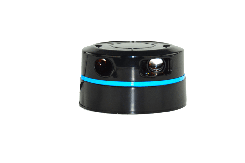
LS01B Series 360°Triangular LiDAR
LS01 series LiDAR is a 2D LiDAR developed by Leishen. This series LiDAR can do 360° 2D scanning to generate spatial point cloud map, signals of switching values and point cloud.
Applications:
- Consumer Robots, like cleaning robots, service robots etc.
Outdoor Applications
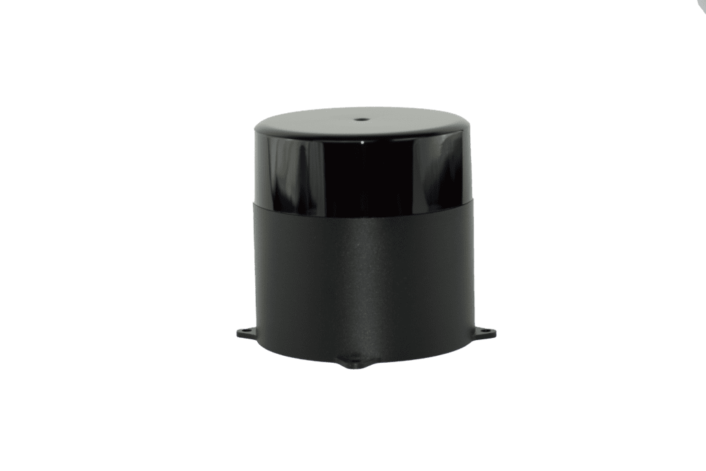
Navigation LiDAR for AGV N301/401
The N301 series of LiDAR adopt the TOF principle, with a 360 ° scanning and measurement range is up to 150m. The ranging accuracy is ±3cm (N401:±1cm ), which can identify the position, size and moving direction of the detected object in real time.
Application:
- ADAS
- Robots & AGV navigation and anti-collision
3D LiDAR for AGV And Robotics Navigation
In some special application scenarios or outdoor heavy-duty AGV applications, due to the more complex environment, some manufacturers will also use 3D navigation radar.
3D lidar can perform three-dimensional dynamic real-time imaging, real-time imaging, and can restore the shape and size of objects and restore three-dimensional information in space.
Mechanical LiDAR for AGV & Robotics
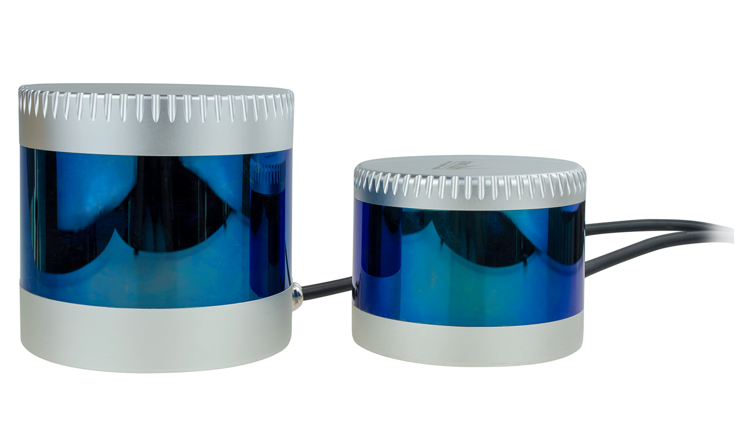
CX Series 32 / 20 / 16 channel LiDAR achieves 360° 3D high-speed scanning with 32 / 20 / 16 -beam laser, measurement range up to 200 m, ±3cm accuracy, minimum vertical
angle resolution up to 0.33°(C32) /1°(C20).
Applications:
- Autonomous vehicle & ADAS;
- Smart transportation, V2X, & ITS;
- Robotics & AGV;
- Surveying and 3Dmapping;
- Security and so on.
Hybrid Solid-state LiDAR for AGV
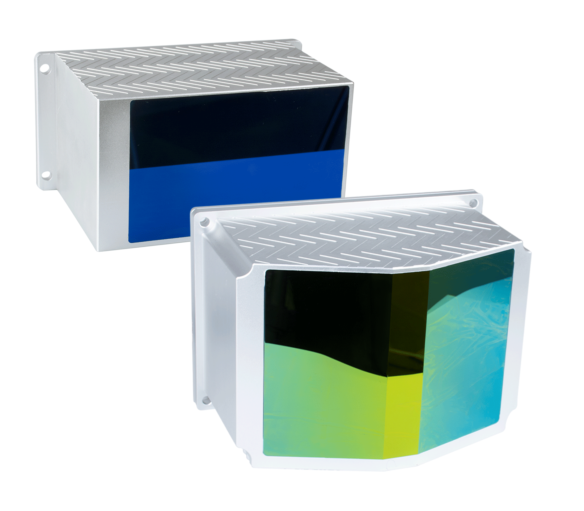
Automotive Grade Multi-Channel LiDAR
The CH Series 128/120/64/32/16 Channel LiDAR is designed for Automotive Grade Standards to meet demands of L4 and L5 autonomous cars. With a hybrid solid-state structure. The horizontal FOV is 150°. Its detection range is up to 300m, and the distance accuracy is ±2cm, which can work with high-speed, low-speed cars and other scenarios.
Application:
- Autonomous Driving;
- V2X, smart traffic;
- 3D Mapping (MS-CH32);