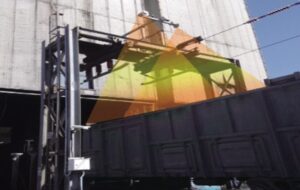
Mobile LiDAR Volume measurement - Drone or Terrestrial LiDAR
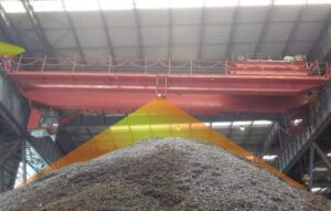
The mobile LiDAR scanners, like the drone based or terrestrial LiDAR system can also be used for the stockpile volumetric measurement. Comparing the traditional methods,it is a lot more efficient.
Comparing to fixed Lidar bulk material measurement solutions, it doesn’t need high investment for installation, and can still generate stockpile LiDAR data which will be used for accurate volume calculation.
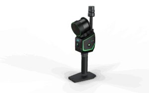
LiDAR Solutions Australia provides the one-stop solution, including drone, Lidar payload or backpack/handheld LiDAR hardware, as well as the software required for processing the stockpile data as well as generating the report.
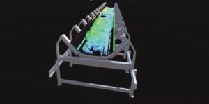
Examples
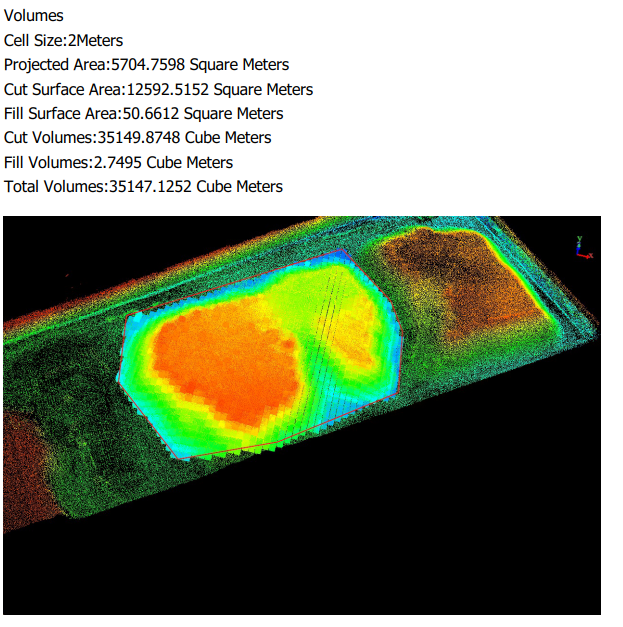
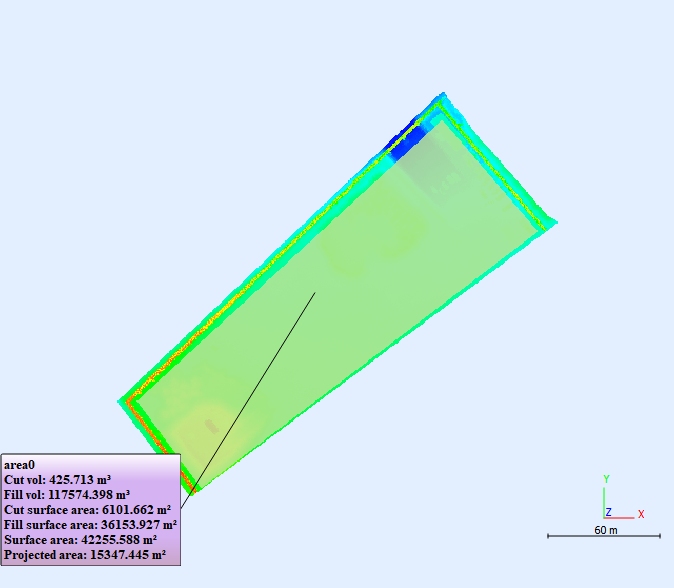
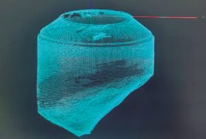
Once the LiDAR data is pre-processed. The stockpile volume report can be easily generated by drawing a perimeter on the LiDAR point cloud, please find the sample report below:
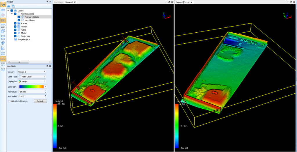
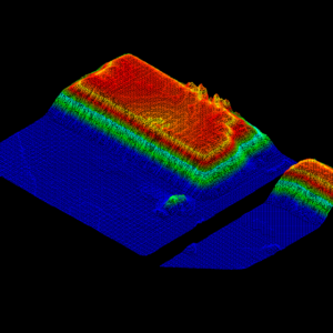
2 datasets that captured for the same stockpile yard in different months can also be used for comparion the volume differences for the same area, here is the example: