
-
 LiDAR Point Cloud Processing Software - NZ
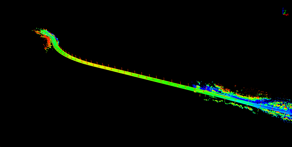
LiDAR360 MLS Mobile/Handheld LiDAR Point Cloud Processing Software – 1 Year Subscription
AU$7,580.00 Excl. GST/VAT Add to cart -
 LiDAR Point Cloud Processing Software - NZ
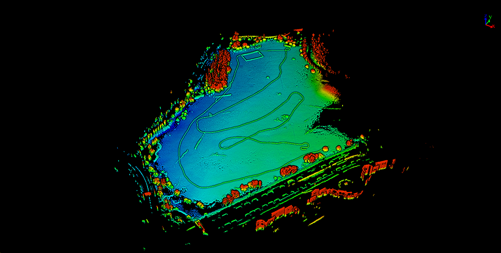
LiDAR360 Aerial LiDAR Point Cloud Processing & Analyzing Software – 1 Year Subscription
AU$6,665.00 Excl. GST/VAT Add to cart
Related products
-
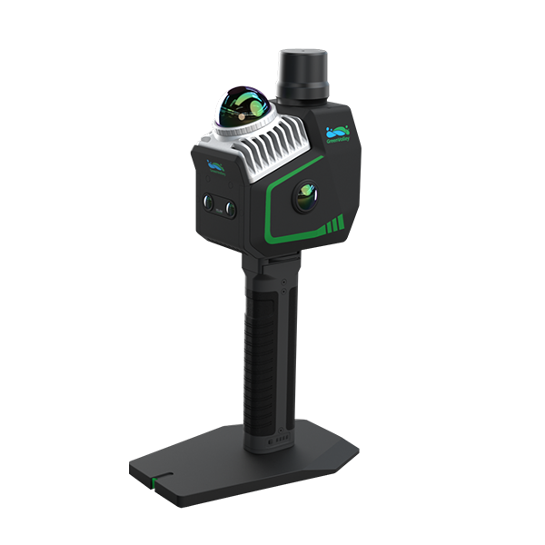
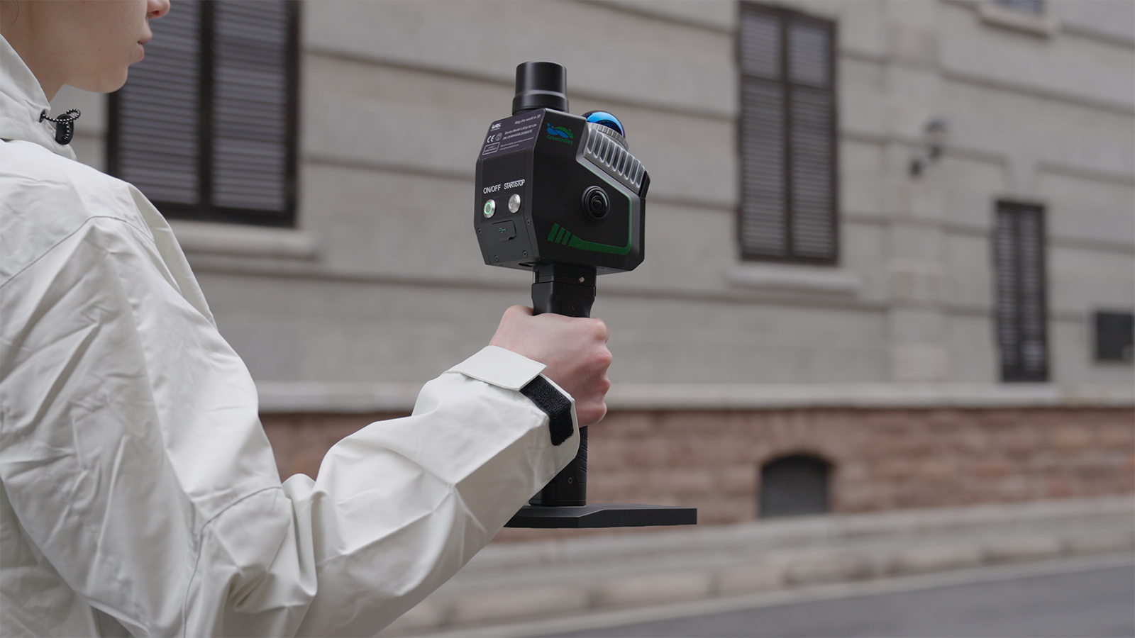
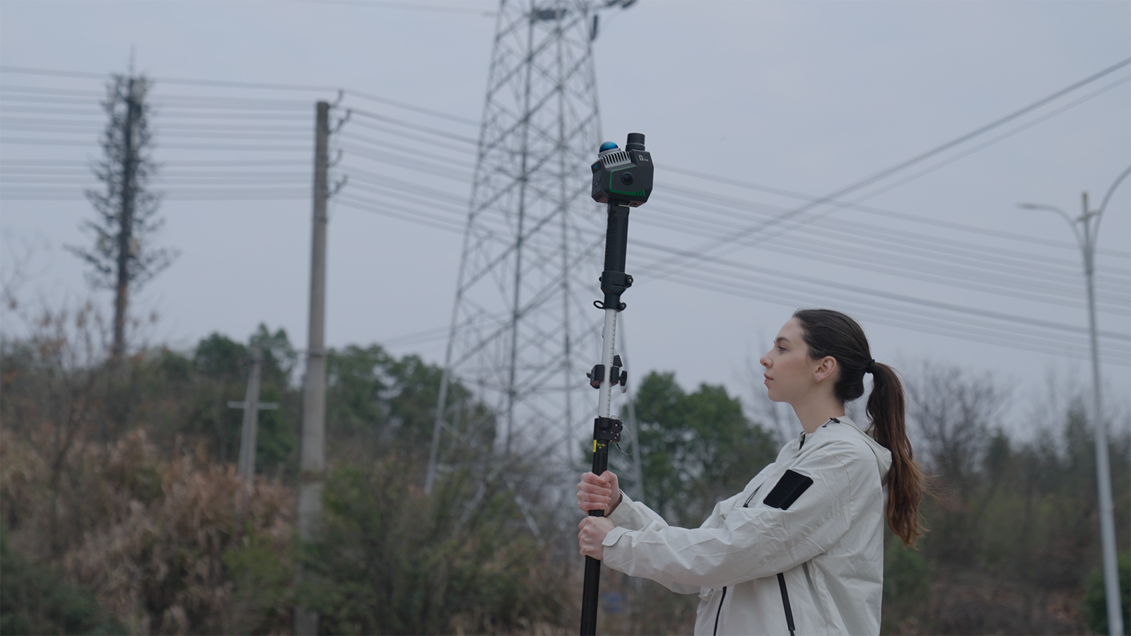
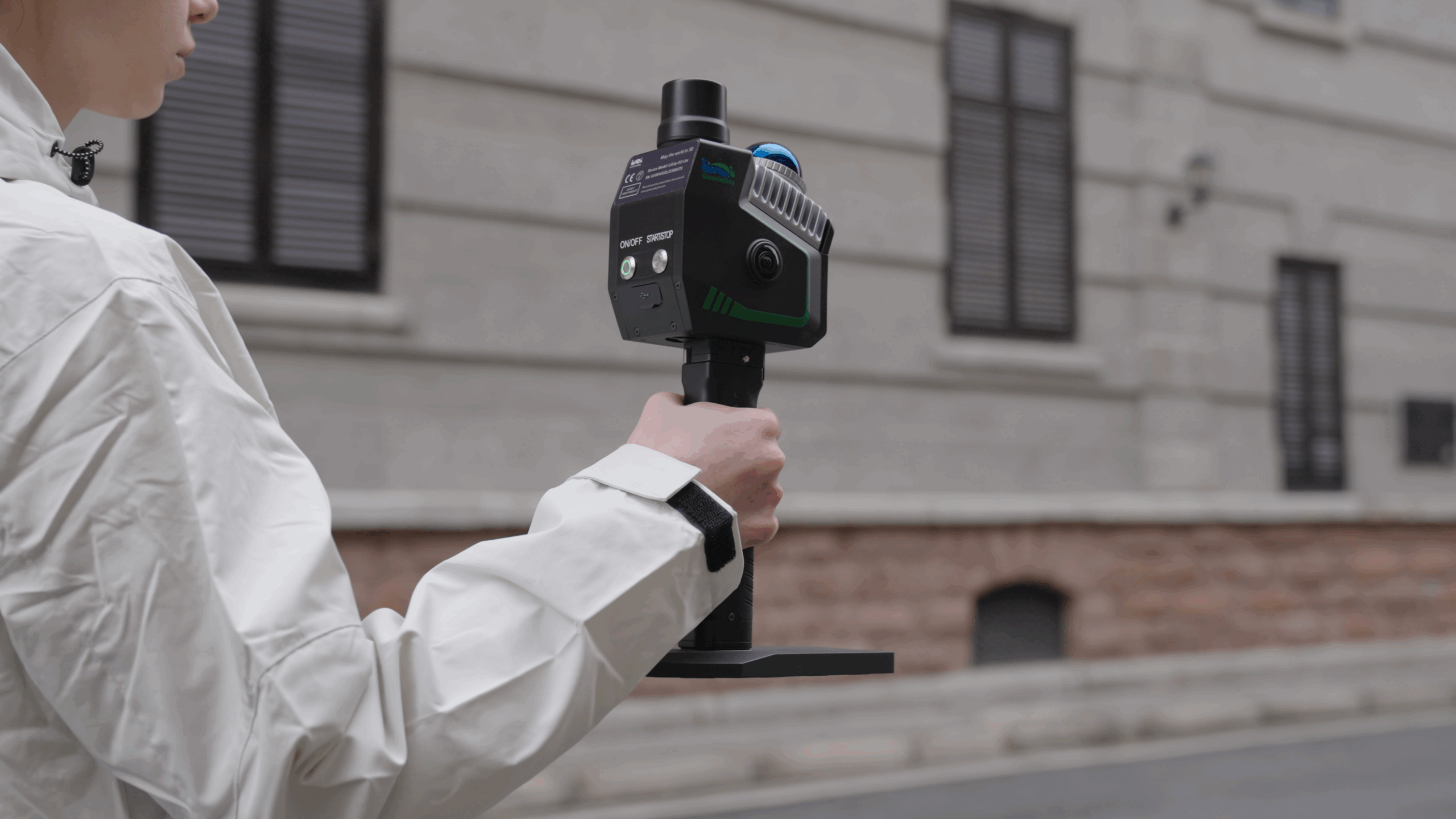
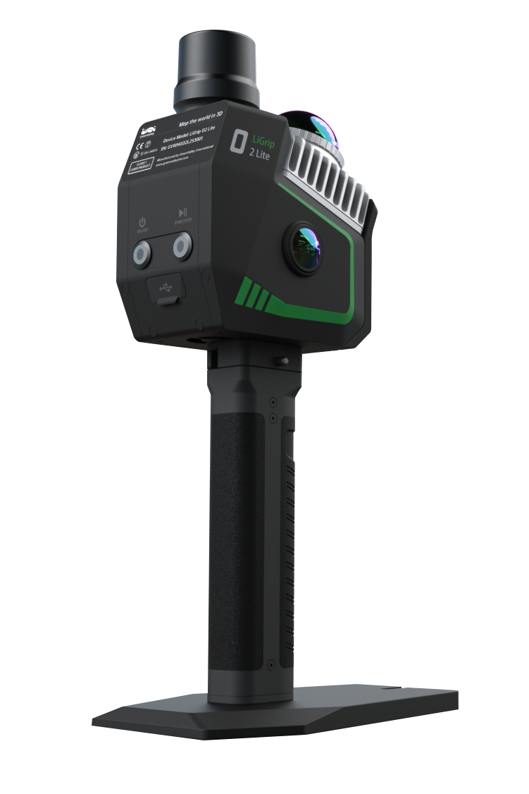
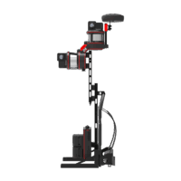
 Handheld LiDAR Scanner
LiGrip SE Handheld LiDAR Scanner – Backpack, Frontpack and Pole-mount Supported
Request for Quote Read More -
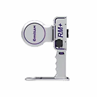 Backpack LiDAR Scanner
OmniSLAM Explosive-Proof LiDAR Scanner RM+ – Millimeter Accuracy
Request for Quote Read More -
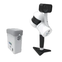 Handheld LiDAR Scanner
LiGrip H300/H120 Handheld LiDAR Scanner – Backpack, Vehicle-mounted Platform Supported
Request for Quote Read More -
 Backpack LiDAR Scanner
OmniSLAM Backpack LiDAR Scanner D8 – Millimeter Accuracy
Request for Quote Read More