LiDAR360 MLS HD LiDAR Mapping Software – 1 Year Subscription
US$3,600.00 Excl. GST/VAT
LiDAR360 MLS HD LiDAR mapping software is a terrestrial mobile laser scanning (MLS) point cloud feature extraction and analysis software independently developed by GreenValley International, which supports the processing and analysis of LiDAR point cloud and image data obtained by mainstream vehicle-mounted, backpack or handled mobile mapping systems on the market.
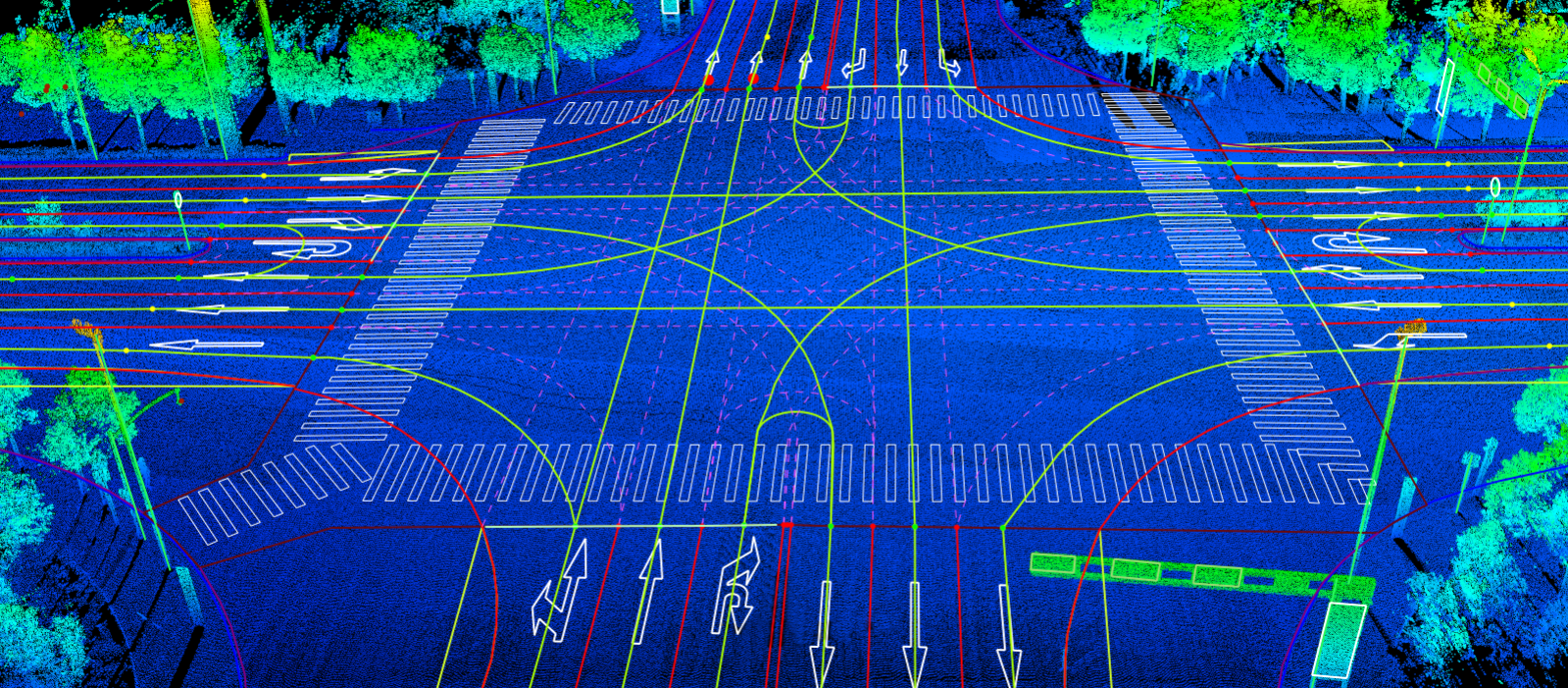
Based on the leading artificial intelligence algorithm, the software performs massive point cloud data editing, 3D feature extraction and analysis, 3D vectorisation of road elements, etc. It has the features of rich function, convenient operation, intelligent and efficient, friendly interaction, forming a complete processing chain of MLS point cloud data processing, high definition map and road asset survey.
The result data exported by the software can be directly imported into GIS, CAD and simulation platforms, which can be widely used in high definition map production, facade survey, road asset survey and maintenance, etc. LiDAR360MLS accelerates information extraction with intelligence and depicts the real world with digitalisation.
LiDAR360 MLS HD LiDAR Mapping Software – Introduction
LiDAR360 MLS HD LiDAR mapping software is a terrestrial mobile laser scanning (MLS) point cloud feature extraction and analysis software independently developed by GreenValley International, which supports the processing and analysis of LiDAR point cloud and image data obtained by mainstream vehicle-mounted, backpack or handled mobile mapping systems on the market.
Data Source & Format Supported
- Data captured by: Terrestrial SLAM LiDAR Scanning equipment and photogrammetric
- Data format supported: las, ply, pcd, kml, csv, lidata, limodel, etc.
System Requirements:
- RAM: at least 8G or more.
- CPU: Intel® CoreTM i5/i7; Dual-core processor.
- Display Adapter: NVIDIA graphics card recommended, video memory no less than 2GB.
- Operating Systems: Microsoft Windows 7 (64-bit), Microsoft Windows 8 (64-bit), Microsoft Windows 10(64- bit),Microsoft Windows
11(64- bit) Microsoft Windows Server 2012 and higher.
Functions of LiDAR360 MLS
Automated Map Element Extraction
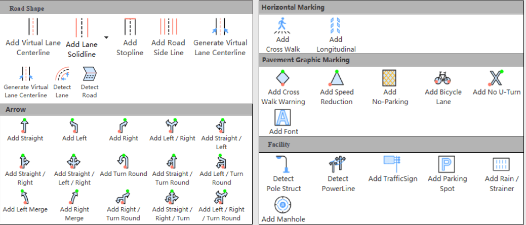
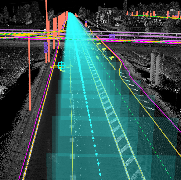
- Automatic extraction of road elements and road facilities based on AI from HD LiDAR mapping point cloud data, which greatly improves efficiency and can quickly expand categories.
• Customisable road element symbol library, with 100% drawing effect fit.
• Support the drawing of special symbols such as characters and letters in various language, and enrich the achievement database.
• Interactive semi-automatic multi-element detection, improvement of mapping efficiency.
• Rich road element templates, one-click drag and drop.
• Support linear facility template customisation to achieve batch extraction of line elements.
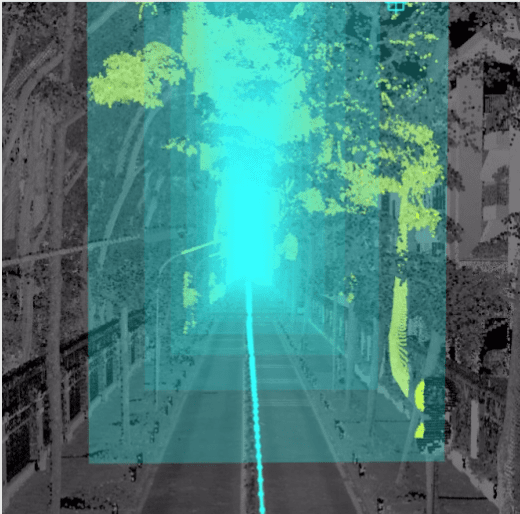
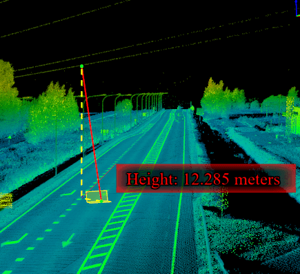
• Support individual segmentation and parameter extraction of road facilities such as trees and poles.
Rich Editor Tools
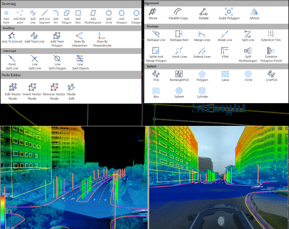
- Rich vector editing tools for automatically generated HD map from LiDAR point cloud, convenient operation, improve the accuracy and reliability of vectors.
• Support shortcut keys customisation to improve the operability of production staff.
• Support mapping in multi-view (3D, 2D, section).
• Support precise editing of different snap modes.
• Support attribute table template configuration.
• Built-in national standard road asset symbol library and general symbol library.
• Support point cloud, feature, vertex/edge multi-level data to add annotation.
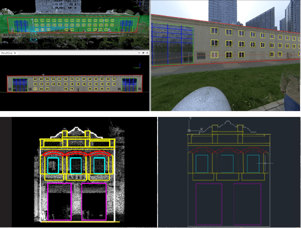
Facade Survey
- Seamlessly import LiGrip/LiBackpack/LiMobile point cloud and image data without format conversion and coordinate system definition.
• Provide multi-mode baseline collection method, adapt to multiple types of facade structures, and accurately locate side facade information.
• Provide facade verticalisation function to solve the problem of SLAM data ground inclination.
• Provide convenient facade element drawing tools such as construction lines and grouping arrays to speed up production efficiency.
• Using panoramic images to assist facade survey, making the drawing of elements more complete and accurate.
• Provide accurate length and area calculation functions, and support exporting tables in other formats.
• Support exporting DXF, orthophoto result data, etc.
Road Analysis
- Extract road surface damage information based on high-precision MLS point cloud data to assist road maintenance inspection.
• Support 3D space analysis methods such as clearance analysis and viewshed analysis.
• Support road section analysis, compare and analyse multi-phase data and generate standard comparison reports.
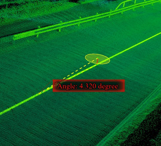
• Support the calculation of various road section parameters to assist in the analysis of road construction and other operations.
LiDAR360 MLS Downloads & Tutorials
Software Download
User Manual
Click HERE to download LiDAR360 MLS software.
Tips
LiDAR360 Video Tutorials
Related products
- LiDAR Point Cloud Processing Software
LiDAR360 Point Cloud Data Management, Processing & Analyzing Software – 1 Year Subscription
Rated 0 out of 5US$3,600.00 Excl. GST/VAT Add to cart - LiDAR Point Cloud Processing Software
LiPowerline – Powerline Point Cloud Data Analyzing Software – 1 Year Subscription
Rated 0 out of 5US$3,600.00 Excl. GST/VAT Add to cart - LiDAR Point Cloud Processing Software
PCMaster Pro
Rated 0 out of 5US$2,500.00 – US$3,500.00 Excl. GST/VAT View products - LiDAR Point Cloud Processing Software
Trion Model Software By FJD
Rated 0 out of 5US$816.00 – US$1,271.00 Excl. GST/VAT View products

