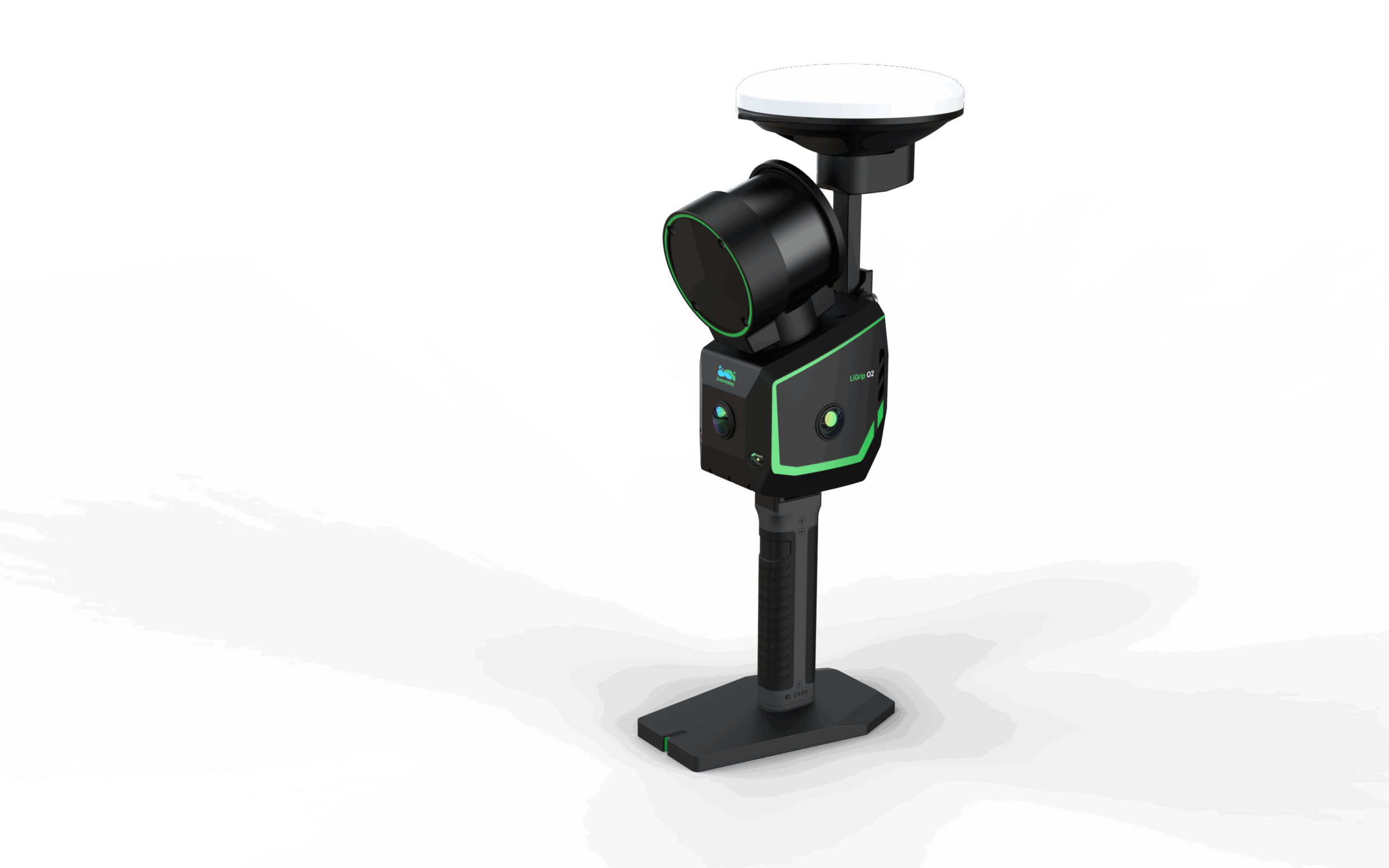
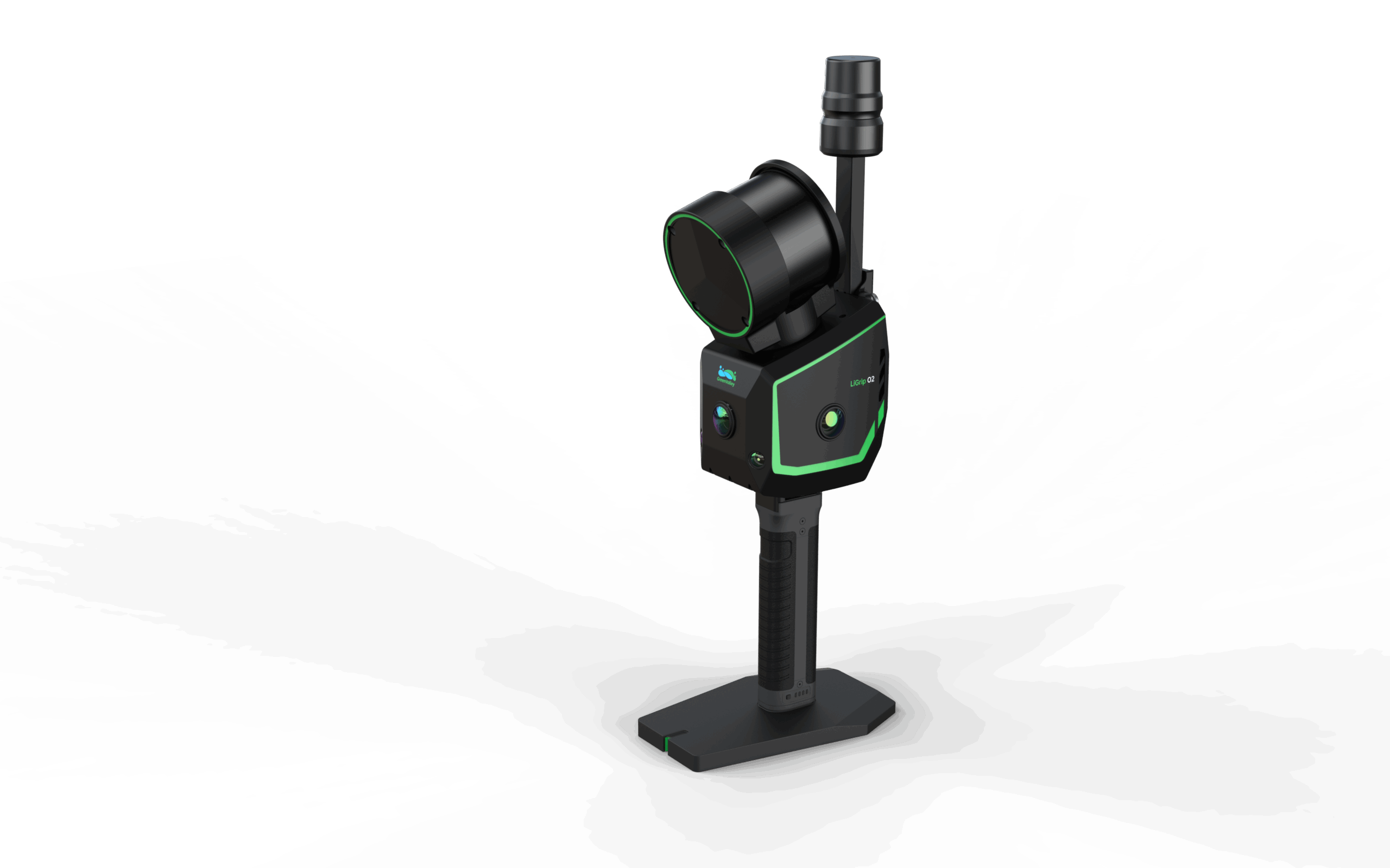
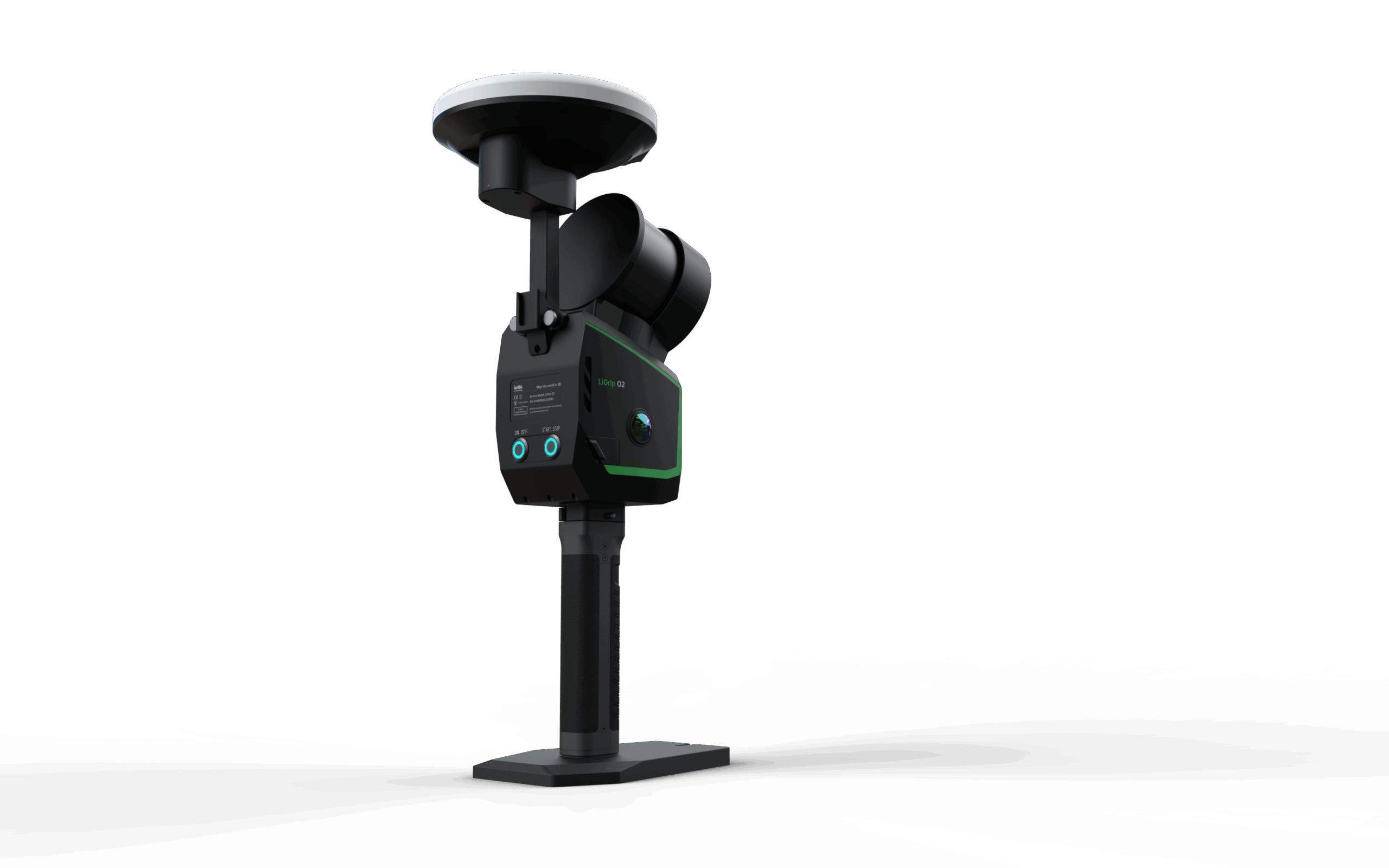
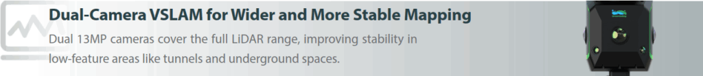
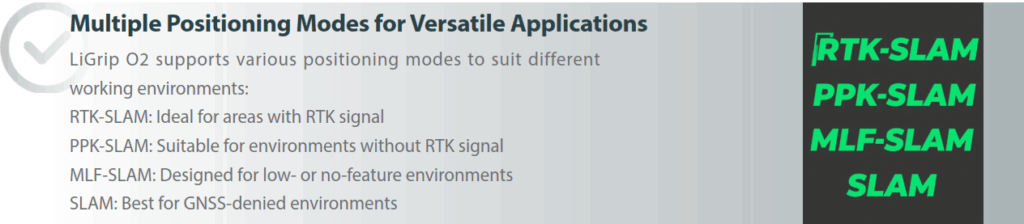
LiGrip O2 is the next-generation flagship handheld SLAM LiDAR scanner developed by GreenValley International. This all-in-one device integrates a laser scanner, panoramic cameras, visual SLAM cameras, and a GNSS antenna, enabling high-precision, all-directional data acquisition without limitations of time or environment.
Delivery Terms:
DAP, Global shipping
Parts included in the package:
1 unit LiGrip handheld LiDAR Scanner;
LiFuser Pre-processing software (Permanent License);
Warranty:
OEM Warranty, 1 year;
Lead Time:
4 weeks plus transport.


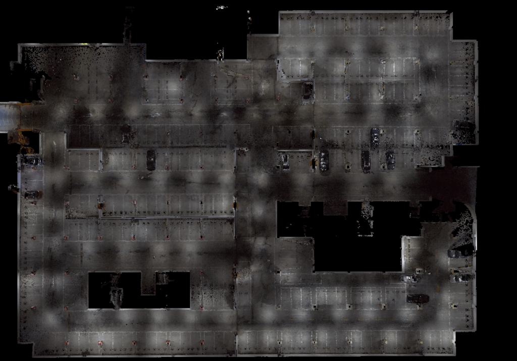

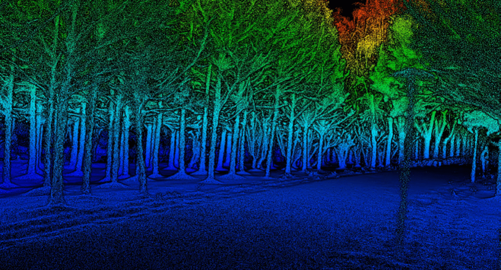
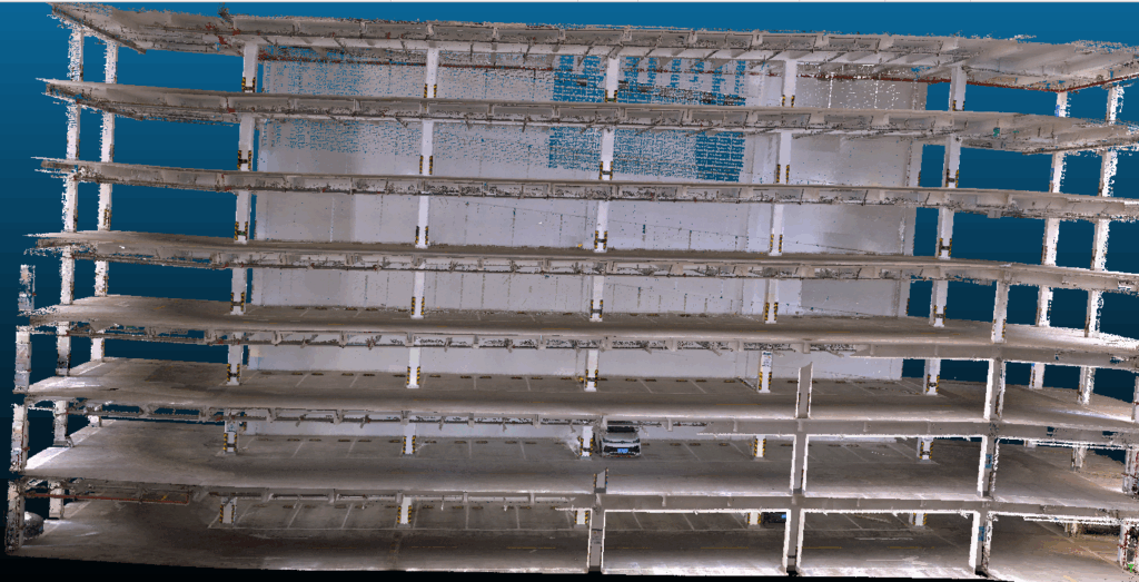
 Handheld LiDAR Scanner
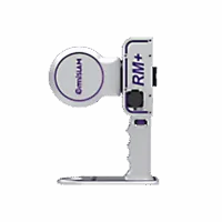 Backpack LiDAR Scanner
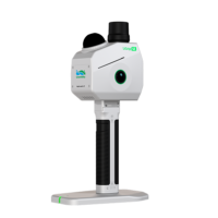 Handheld LiDAR Scanner
 Backpack LiDAR Scanner