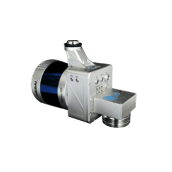
LiAir 220N Drone LiDAR Scanner – Hesai Pandar40 Sensor
Request For Quote
The LiAir 220N is a lightweight UAV- or sUAS-mounted LiDAR survey instrument designed and produced by GreenValley International (GVI). This system features a Hesai Pandar40P
laser scanner and it is one of the most cost-effective LiDAR systems in GVI’s LiAir Series. This lightweight 3D surveying and mapping payload was designed with DJI’s Matrice 600 Pro & DJI M300 RTK series platforms. LiAir 220N is able to provide highly accurate 3D point cloud data and is a great fit for applications in a wide variety of industries. And it is also equipped with a high-definition digital camera, which can be used to generate photogrammetry products as well as true color 3D point clouds.
Content
General Specification of LiAir 220N LiDAR for Drone
Laser Sensor: Hesai Pandar40P
Range Accuracy: ±2 cm
Detection Range: 200 m @ 10% reflectance
Channels: 40
Power Consumption: 27 W
System Accuracy: ± 5 cm
POS System Performance:
Attitude: 0.008° (1σ)
Azimuth: 0.038° (1σ)
Camera (Optional): Sony A5100
Weight: 2.0 kg (Incl. Camera)
Dimensions (Incl. Camera): 234* 100* 181mm
Field of View: 360° (Horizontal) 40° (Vertical)
Scan Rate:720,000 pts (Single Return )1,440,000 pts (Dual Return )
Downloads for LiAir 220N LiDAR for Drone
Brochure
User Manual
Sample Data
Required Software for LiAir 220N Drone LiDAR Scanner
Pre-processing Software
Date management, Post-processing and Analyzing Software
Request for Quote
Related products
- UAV LiDAR Payloads
LiAir H800 Drone LiDAR Scanner – Long Range
Rated 0 out of 5US$65,000.00 Excl. GST/VAT Add to cart - drone lidar with premium INS
RESEPI-LIVOX AVIA – From Inertial Labs, Manufactured In USA
Rated 0 out of 5Request For Quote - drone lidar with premium INS
RESEPI-HESAI XT32 – From Inertial Labs, Manufactured In USA
Rated 0 out of 5Request For Quote
